What is recorded here
Kilmore is the only named place in the supplied facts, so the story must stay with Kilmore. Its field system contains about 10.5 hectares of circular relict fields, each roughly 60 to 80 metres across, marked by low banks and shallow scarps. A wide relict road runs north-south along the eastern edge, while ploughing has damaged much of that side since 1995. The shape suggests a repeated human act: cutting, carrying, bordering and returning across the same level land.
Situated on a fairly level landscape in the area to the N of Kilmore church (ME043-0043----). Relict fields covering about 10.5 ha (c. 27 acres) are visible on an oblique aerial photograph (CUCAP: APE 5). The fields tend to be circular (diam. c. 60-80m) and are defined by low banks (Wth 3-4m; H 0.4-0.6m) and scarps (H c. 0.5m). A relict road (Wth c. 10m) extends N-S at the E edge of the fields. Much of the area, particularly at its E edge has been ploughed since 1995 (OSAP).
The above description is derived from the published 'Archaeological Inventory of County Meath' (Dublin: Stationery Office, 1987). In certain instances the entries have been revised and updated in the light of recent research.
Compiled by: Michael Moore
Date of revision: 26 August 2019
The monument record does not grant public access. Check the route and ask the landowner before entering private land.
- What survives
- Recorded monument
Places near here
 Church (Disused)Church · 244 yd
 CrossCross, Churchyard cross · 261 yd
 MullaghMountain / peak · 1583 yd
 Delanys FortFairy fort / earthen ringfort · 1.4 mi
 1798 MemorialMemorial · 1.7 mi
 Larchil Arcadian GardensHeritage attraction · 1.7 mi
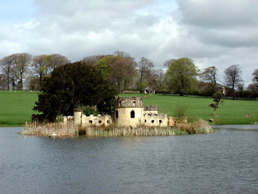 Larchill Housefolly · 2.0 mi
 CastleCastle, motte · 2.1 mi
 Mulhussy CastleCastle, tower house · 2.4 mi
 Kilgar GardensHeritage attraction · 3.3 mi
 Lismahon 1798 MemorialMonument · 4.2 mi
 European ashEuropean ash · 4.7 mi