What is recorded here
Aerial photograph (GB90.CJ.13) shows cropmark of a ring-ditch; one of two ring-ditches (LA023-062/063) in close proximity. First recorded as a positive cropmark in July 1990. Plough-levelled rectilinear field system adjacent to the ring-ditches, but date uncertain (not on first edition of the OS 6-inch map).
The above report has been compiled by Dr. G.F. Barrett and supplied to the Archaeological Survey of Ireland.
Date of this report: 21 January 2010
Compiled by Caimin O'Brien
Date of upload: 13 August 2010
The monument record does not grant public access. Check the route and ask the landowner before entering private land.
- What survives
- Recorded monument
Places near here
 Enclosure in KilleanyEnclosure · 339 yd
 Enclosure in Shanahoe,springmountEnclosure · 1002 yd
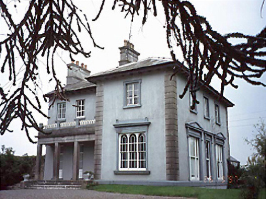 Shanahoe Househouse · 1100 yd
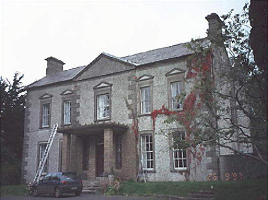 Springmount Househouse · 1260 yd
 Killeany Castle (ruins)Castle · 1438 yd
 Scotch RathHouse, fortified house · 1598 yd
 Birchfield PlantationForest · 3.1 mi
 Sitka SpruceSitka Spruce · 3.2 mi
 Abbeyleix Heritage CentreMuseum · 3.8 mi
 Knocknamoe HouseMemorial · 3.9 mi
 Anker's IslandIsland · 8.6 mi
 Enclosure in ScotchrathEnclosure · 1410 yd