What is recorded here
Aerial photograph (CUCAP AVM 7) shows the cropmarks of a small field system, possibly connected with a church (KD037-037002-) and Children's burial ground (KD037-037003-) described by Fitzgerald (1906-08, 120-1) as being located in this area. Two other small field systems (KD037-035---- and KD037-036----) and a circular enclosure (KD037-034----) occur in the immediate vicinity. These features are also visible on a later (1989) aerial photo.
Date of upload: 15 September 2016
The monument record does not grant public access. Check the route and ask the landowner before entering private land.
- What survives
- Recorded monument
Places near here
 Church in Kilkea UpperChurch · 76 yd
 Enclosure in Kilkea UpperEnclosure · 146 yd
 Enclosure in Castleroe WestEnclosure · 544 yd
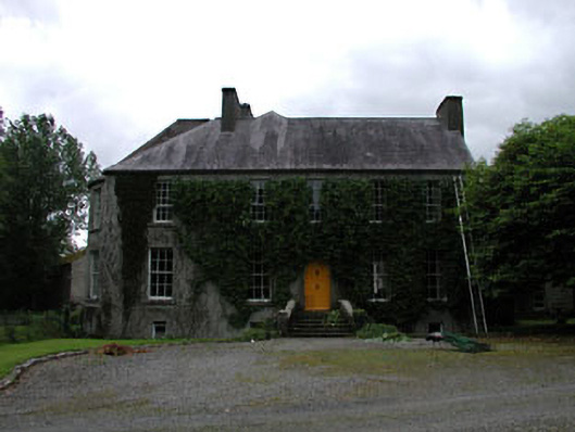 Millbrookmiller's house · 555 yd
 Kilkea CastleCastle, tower house · 1.0 mi
 MoatCastle, motte · 1.0 mi
 Lorcán Ó TuathailMemorial · 1.2 mi
 Dollardstown WoodForest · 1.2 mi
 Mullaghreelan WoodForest · 1.4 mi
 ProclamationMemorial · 3.1 mi
 Franciscan FriaryHeritage attraction · 3.3 mi
 Castledermot Round TowerHeritage attraction · 3.3 mi