What is recorded here
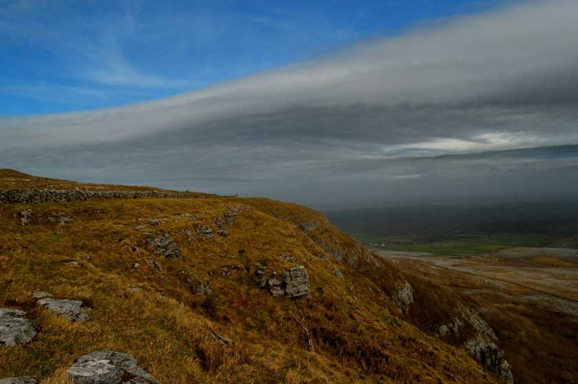
On fairly level, partly scrub-covered karst pavement. An irregular field system (c. 250m E-W; c. 90m N-S) comprising what appear to be slab walls visible on OSi MapGenie Imagery (2013-2018) and reported by Ros Ó Maoldúin.
Compiled by: Mary Tunney
Date of upload: 22 November 2022
The monument record does not grant public access. Check the route and ask the landowner before entering private land.
- What survives
- Recorded monument
Places near here
 Grave of Saint Mac Duagh's ServantArchaeological place · 197 yd
 TobermacduaghRuins · 292 yd
 St. MacDuachs Church (in ruins)Church · 295 yd
 Enclosure in PullaghEnclosure · 732 yd
 Enclosure in SlievecarranEnclosure · 887 yd
 Cappagh CastleCastle · 1.9 mi
 Kilnaloone GraveyardArchaeological place · 2.2 mi
 Turlough HillMountain / peak · 2.4 mi
 Glencolumbkille CastleCastle · 2.5 mi
 Corcomroe AbbeyVisitor information · 3.7 mi
 Corcomroe Abbey Geopark SiteVisitor information · 3.7 mi
 Burren National ParkNature reserve · 3.8 mi