What is recorded here
On the crest of a low E-W ridge. Some relict earthen field banks (Wth c. 2m; H 0.3m) cover an area of c. 2 ha (c. 5 acres) forming rectangular fields (dims c. 40m x 20m) and a possible roadway (L c. 100m; Wth 5m) going WNE-ESE.
Compiled by: Michael Moore
Date of upload: 24 August 2010
The monument record does not grant public access. Check the route and ask the landowner before entering private land.
- What survives
- Recorded monument
Places near here
 Field system in Ballyglass (castlereagh By.)Field system · 279 yd
 Enclosure in Ballyglass (castlereagh By.)Enclosure · 555 yd
 Church in GlenvelaChurch · 1.5 mi
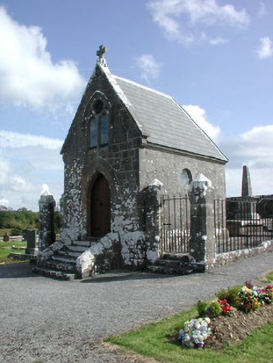 Irwin Mortuary ChapelOfficially recorded historic building · 1.6 mi
 CastlerubyCastle, unclassified · 2.2 mi
 GortnacushlaunCastle, unclassified · 2.9 mi
 European ashEuropean ash · 3.4 mi
 ToberagullaSpring · 3.4 mi
 Cruachan Aí Heritage CentreMuseum · 4.2 mi
 Silver IslandIslet · 5.1 mi
 Workhouse MemorialMemorial · 5.7 mi
 Gray's WoodForest · 6.5 mi