What is recorded here
Visible on aerial photographs (ACAP: V206/10-11), and situated in a slight fold on an undulating landscape. Triangular area (dims c. 50m N-S; c. 30m E-W at S) SE of enclosure (RO021-073001-) divided into smaller plots by stone spreads (Wth c. 1m; H c. 0.2m). It encloses c. 1.5 acres (c. 0.5 ha).
Compiled by: Michael Moore
Date of upload: 24 August 2010
The monument record does not grant public access. Check the route and ask the landowner before entering private land.
- What survives
- Recorded monument
Places near here
 Embanked enclosureEnclosure · 39 yd
 RathfuadaghFairy fort / earthen ringfort · 922 yd
 Church in GlenvelaChurch · 1.1 mi
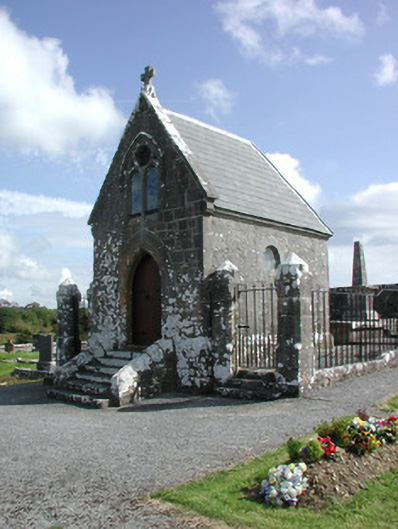 Irwin Mortuary ChapelOfficially recorded historic building · 1.4 mi
 CastlerubyCastle, unclassified · 1.8 mi
 European ashEuropean ash · 3.1 mi
 ToberagullaSpring · 3.1 mi
 GortnacushlaunCastle, unclassified · 3.3 mi
 Cruachan Aí Heritage CentreMuseum · 4.0 mi
 Silver IslandIslet · 5.1 mi
 Workhouse MemorialMemorial · 5.7 mi
 Clonalis HouseMuseum · 6.8 mi