What is recorded here
Murrooghkilly preserves a dense tangle of ancient fields and enclosures above the Caher River, with narrower strips running north-east and south-west through land still largely untouched by modern clearing. Some parts may date after the medieval period, yet they were already visible before the 1842 survey, and older elements may hide beneath the present lines. The area does not announce itself as one grand work; it emerges as a neighbourhood of smaller systems, suggesting people shaped that valley repeatedly across centuries.
A large uncleared area stretching N from the Caher River for c. 1km. Several discrete ancient field systems (CL001-025----, CL001-026----, CL001-027----, CL001-029----) occur within this large area as well as several enclosures (CL001-008----, CL001-028----, CL001-030---- to CL001-032----). Much of what connects these sites are linear strip fields orientated NNE-SSW and while these may be of post-medieval date they appear to predate the 1842 OS map and there are very likely older elements. Noted and reported to the National Monuments Service by Ros Ó Maoldúin.
Compiled by: Mary Tunney
Date of upload: 18 November 2020
The monument record does not grant public access. Check the route and ask the landowner before entering private land.
- What survives
- Recorded monument
Places near here
 IndicatedEnclosure · 207 yd
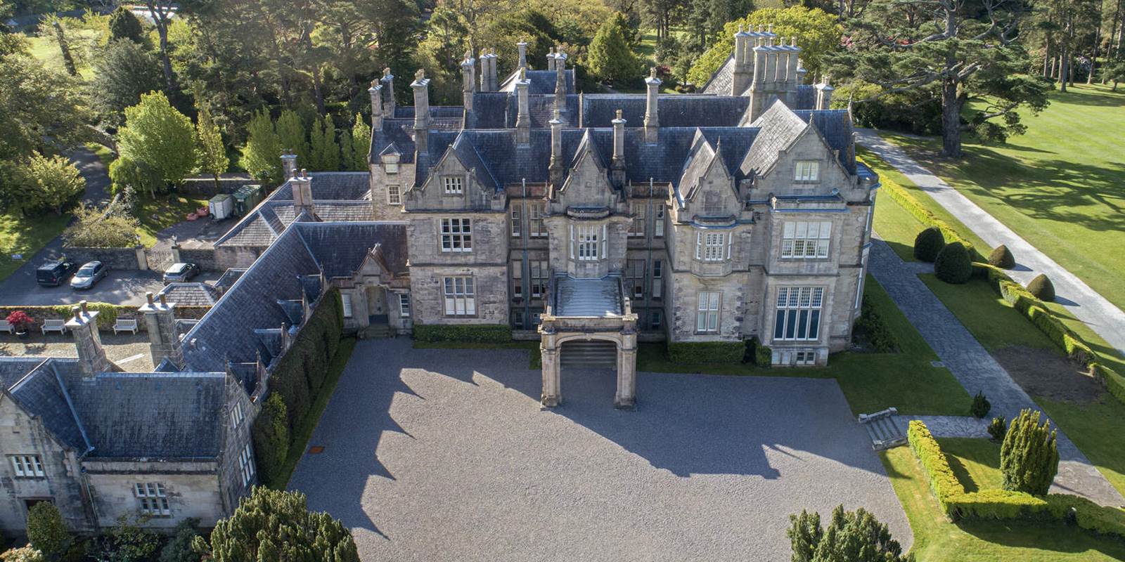 Enclosure in MurrooghkillyEnclosure · 319 yd
 garda station/constabulary barracksgarda station/constabulary barracks · 1232 yd
 Fanore Bridgebridge · 1329 yd
 Fanore BeachBeach / strand · 1.3 mi
 Black HeadHeadland · 1.9 mi
 Gleninagh CastleCastle · 2.4 mi
 Faunarooska Castle (in ruins)Castle, tower house · 2.6 mi
 CappanawallaMountain / peak · 2.6 mi
 Slieve ElvaMountain / peak · 3.0 mi
 FaunarooskaCave · 3.1 mi
 PollbailinyCave · 3.2 mi