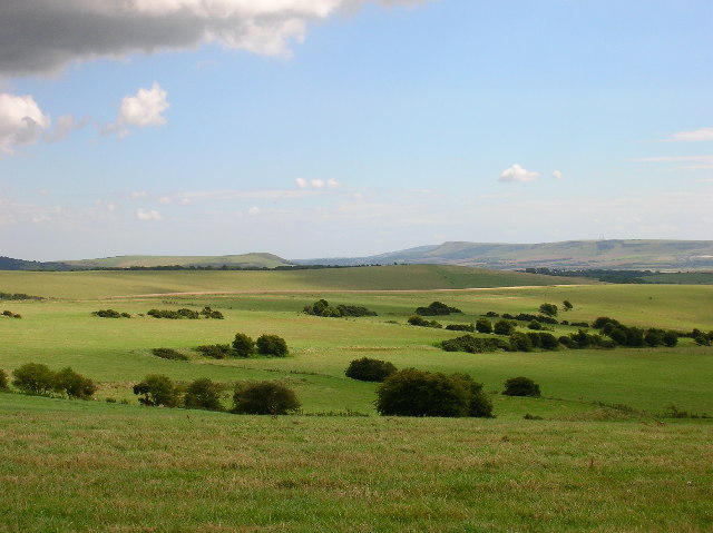
Overview
Field system in Cush is recorded as Field system at Cush. It preserves evidence of a surviving pattern of fields, banks or boundaries made by repeated farming. The source record also describes the surviving evidence; its details are kept below.
Who lived here and when
The record identifies Field system in Cush as Field system. It does not safely name every person, family or worker who used it, or fix all phases to exact years.
Homes and daily life
The recorded type points to a surviving pattern of fields, banks or boundaries made by repeated farming. That explains the likely everyday purpose without claiming people, tools or customs that the exact record does not prove.
What was found
The saved source says: In reclaimed pasture, located on the 'Supposed Site of Temaír Erann', which was the ancient cemetery of the Ernai tribe on Slievereagh (Sliabh Riabhach) (Westropp 1919, 9; Westropp 1917-19, 179; Westropp 1918, 111) and associated with an archaeological complex (LI048-034006/042-). Excavations carried out by Ó Ríordáin (1940, 140-145) between 1934-5 revealed sections of the field system and were described as following; ‘Our attention was in the first instance directed to the traces of ancient fields connected with the Cush site by reason of the fact that on the eastern side of the Southern Group of ring-forts (LI048-034016-; 025/028-) there ran two field fences which were in approximately the same straight line as the defences of the Enclosure on the western side of the group. The southern of these two field fences joins Ring 5 [LI048-034016-] and is shown on the Ordnance Map in the same way as are the modern field fences; the northern one joins Ring 3 [LI048-034027-] and is not shown on the map, not being so well defined as the other, though comparatively easy to follow on the ground, nevertheless. Both of these fences join the long fence which runs northwards along the contour of the hill-side and which is marked as a modern.
Why it ended
The saved record does not establish one certain ending. A change in farming, water level, trade, fuel, ownership, route or settlement pattern may have ended the use, but no single cause is claimed without evidence.
Why it mattered
Field system in Cush fixes a real piece of work or daily life to an exact place. Even where names are lost, its remains show how people obtained food and materials, organised land, made homes or adapted to the local ground.
History checked 15 August 2026 against the named sources below.
Add the human story, a picture, a first-hand message or a missing place.
Earn 5 points after the picture is checked and accepted.
Add a pictureAdd its storyTalk or ask a questionAdd a new placeThe monument record does not grant public access. Check the route and ask the landowner before entering private land.
Conversation about this place
Questions and messages sit beneath the source record. They are checked before appearing.
No questions or messages yet.
Ask a question or join the conversation