What is recorded here
Creevagh North holds a vast network of earthen banks beside its castle, dividing level pasture into fields of various sizes. The walls stand firm enough to suggest human intent, yet no house or hearth has emerged to confirm whether this was a farm, a fortress yard, or a forgotten neighbour. The land keeps its shape while withholding its story, inviting speculation about the hands that raised them and the lives that moved between those ancient lines.
In level pasture, E of castle (MA118-090001-). Vast network of earthen banks make up fields of various sizes. May be part of a settlement.
The above description has been derived from D. Lavelle (compiler), An Archaeological Survey of Ballinrobe and District including Lough Mask and Lough Carra. Lough Mask and Lough Carra Tourist Development Association (1994), No. 569.
Date of upload: 19 December 2013
The monument record does not grant public access. Check the route and ask the landowner before entering private land.
- What survives
- Recorded monument
Places near here
 Enclosure in Creevagh North (kilmaine By., Kilmolara Par.)Enclosure · 427 yd
 Castle in ruinsCastle, tower house · 434 yd
 Enclosure in Carrowmore (kilmaine By., Ballinrobe Par.)Enclosure · 1337 yd
 Church in ruinsChurch · 1368 yd
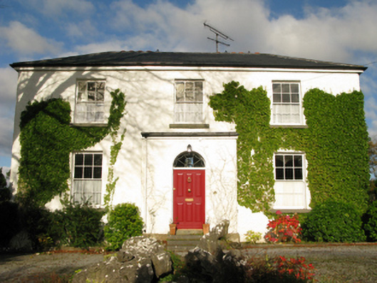 Bunavaunish Houserectory/glebe/vicarage/curate's house · 1.2 mi
 European ashEuropean ash · 2.0 mi
 CastleCastle, unclassified · 2.1 mi
 LabbadermotCave · 2.5 mi
 Long IslandIslet · 4.0 mi
 SycamoreSycamore · 4.0 mi
 Shrub IslandIslet · 4.1 mi
 Quiet Man MuseumMuseum · 5.1 mi