
What is recorded here
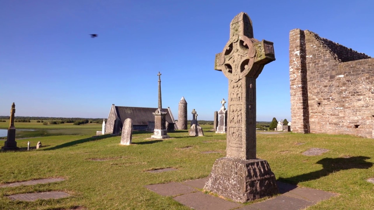
Field system identified in 1987 survey of the Clonmacnoise area (McDonald 1987, 20). These are cultivation ridges probably of post-1700 AD date and associated with the terracing by local farmers of steep gravel ridges in the Clonmacnoise region.
The above description is derived from the published 'Archaeological Inventory of County Offaly' (Dublin: Stationery Office, 1997). In certain instances the entries have been revised and updated in the light of recent research.
Date of upload: 23 May 2011
The monument record does not grant public access. Check the route and ask the landowner before entering private land.
- What survives
- Recorded monument
Places near here
 Man-made underground passage in ClonmacnoiseMan-made underground passage · 175 yd
 Ritual siteRitual site, holy tree/bush · 338 yd
 HawthornHawthorn · 366 yd
 Graveyard in ClonmacnoiseGraveyard · 617 yd
 RoadRoad, road/trackway · 630 yd
 Castle or Bishops PalaceCastle, Anglo-Norman masonry castle · 633 yd
 ClonmacnoiseMuseum · 729 yd
 Temple Doolin (in Ruins)Church · 758 yd
 CastleCastle, unclassified · 1.8 mi
 Devenish IslandIsland · 1.9 mi
 Long IslandIsland · 3.5 mi
 Shannonbridge - Nearby AttractionsVisitor information · 3.8 mi
Other information
Photo: Credit not shown in the picture search · Rights wording not checked; contact us if this picture should be removed