What is recorded here
On a slight SE-facing slope in a rough unreclaimed area. Killone Lake lies c. 350m NW and a modern housing development is immediately NW. A number of field boundaries visible on Digital Globe (2011-13) and on Google Earth (19 January 2020) appear to be contemporary with a possible cashel (CL041-190----). This field system is likely to have formed part of the same field system (CL041-189----) that lies to the NW of the housing development.
The following image has been uploaded:
CL041-192----_01.jpg Google Earth image 19 January 2021
Compiled by: Mary Tunney
Date of upload: 12 May 2021
The monument record does not grant public access. Check the route and ask the landowner before entering private land.
- What survives
- Recorded monument
Places near here
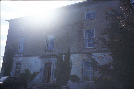 Barntick Housefarm house · 219 yd
 Enclosure in FeaghEnclosure · 406 yd
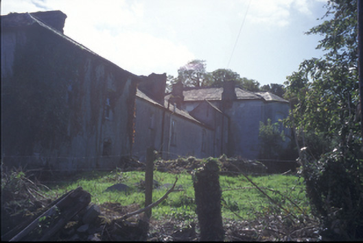 Buncraggy Housecountry house · 1030 yd
 Trees;Irreg broken indicationFairy fort / earthen ringfort · 1178 yd
 Killone AbbeyHeritage attraction · 1180 yd
 Abbey WoodForest · 1432 yd
 Killone Castle (in Ruins)Castle, unclassified · 1.2 mi
 Rockmount WoodWood · 1.4 mi
 Alice and Gwendoline CaveMuseum · 1.5 mi
 Irish Famine MemorialMemorial · 1.8 mi
 G.A.A. Commemorative StoneMemorial · 1.8 mi
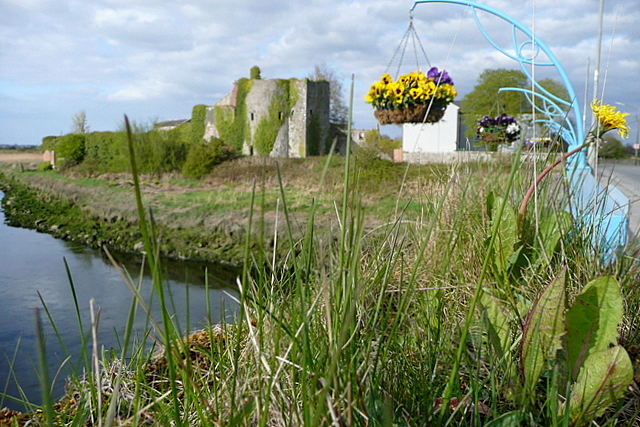 Clare CastleCastle · 2.1 mi