What is recorded here
The remains are situated on a natural rise of rush-covered rough pasture on a N facing slope overlooking the Owenduff River and consist of an ancient field system represented by a single long boundary (running ENE-WSW) incorporating vestiges of a megalithic tomb (MA010-037001-) at the junction of two other possible boundaries. It is very probable that the boundaries post-date the tomb and that it may have been robbed to make them. The boundary running W from the tomb structure is composed primarily of stones and peters out after c. 32m. Beyond this it is visible as stony heather and rush-covered humps that extend for a further 20m. The remnants of a possible further boundary run N from the large upright sidestone of the tomb (see plan) and a raised area immediately S of it may also indicate the remnants of a further boundary. Although the boundary is not visible at ground level to the E of the tomb structure it is traceable on the OS 2005 aerial photograph of this area.
Compiled by: Eamon Cody, Paul Walsh
Date of upload: 20 June 2013
The monument record does not grant public access. Check the route and ask the landowner before entering private land.
- What survives
- Recorded monument
Places near here
 Saint Patrick's Catholic Churchchurch/chapel · 110 yd
 Site of CastleCastle, unclassified · 529 yd
 Children's Burial GroundArchaeological place · 673 yd
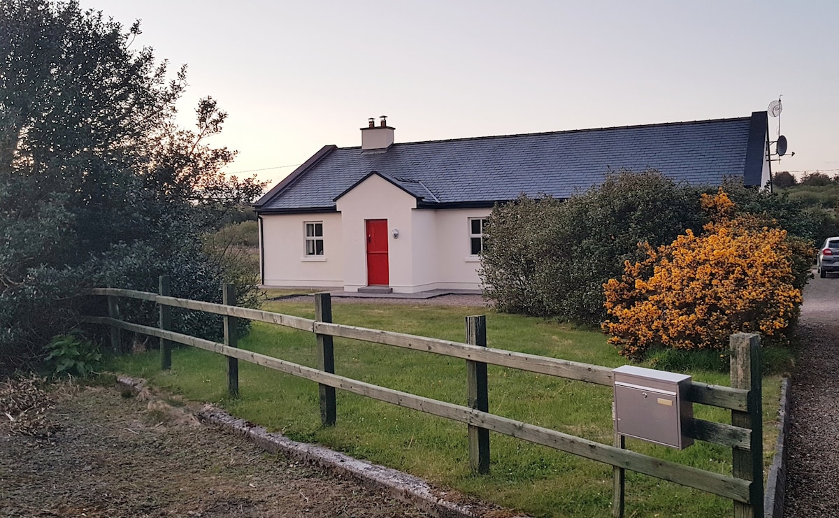 Enclosure in An TinbhearEnclosure · 765 yd
 Site of Myles Barretts CastleCastle, unclassified · 1.4 mi
 Broadhaven LighthouseLighthouse · 1.6 mi
 Barr na CoilleadhMountain / peak · 2.1 mi
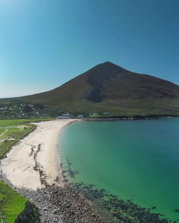 Portnacully BeachBeach / strand · 2.4 mi
 Inis DoireIslet · 2.6 mi
 Glengad BeachBeach / strand · 3.1 mi
 Cuan an InbhirBay · 3.2 mi
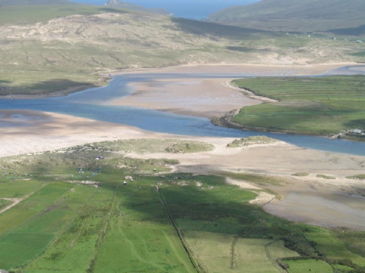 Sruth Fada ConBay · 3.4 mi