What is recorded here
No visible monument remains, only a buried line where human life repeated itself across centuries. The slope above the River Boyne held a narrow gully cut into living rock, then layered over with medieval deposits and later eighteenth and nineteenth century material. That sequence suggests the boundary was not forgotten but reused, adjusted and finally hidden beneath a changing town.
Situated on a N-facing slope down to a NW-SE section of the River Boyne just above where it runs through the walled part of Trim town. Archaeological testing (99E0041) on the line of an electricity duct trench that runs parallel with and c. 34m from the line of the town wall as it approaches the site of the Watergate identified archaeological deposits dating from the fourteenth to seventeenth centuries sealed beneath 0.5m of fairly modern dumped material, prompting a small excavation. Layers (max. T 0.5m) with medieval material, dumped from the W, overlay a N-S gully (Wth 1.6m; D 0.6m) cut into the subsoil and extended E from it. A second gully (Wth 1.3m; D 0.5m) 16m to the W was covered (D 0.7m) in layers with exclusively eighteenth and nineteenth century material prompting the excavator to suggest that the gully might have been a medieval boundary. (Lynch 1999, 2000)
Compiled by: Michael Moore
Date of upload: 8 July 2019
The monument record does not grant public access. Check the route and ask the landowner before entering private land.
- What survives
- Recorded monument
Places near here
 Watergate Bridgebridge · 119 yd
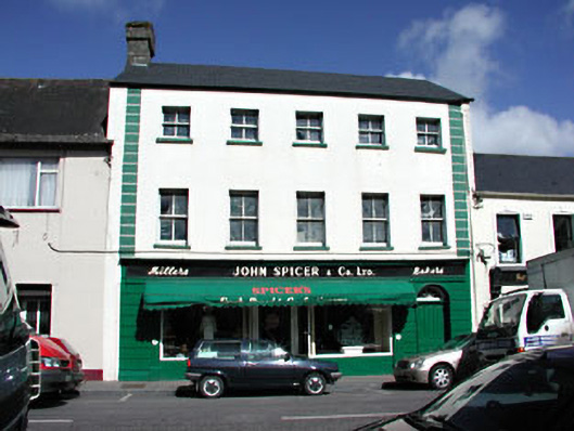 John Spicer and Companyhouse · 149 yd
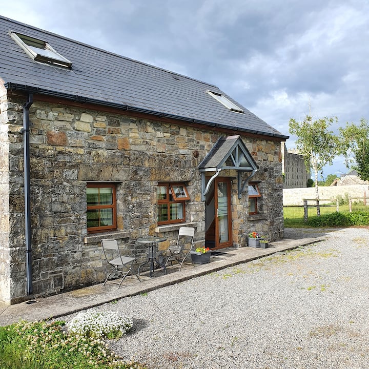 IndicatedTown defences · 259 yd
 CastleCastle, hall-house · 367 yd
 Fortification in Manorland (1st Division)Fortification · 400 yd
 Trim CastleCastle, Anglo-Norman masonry castle · 401 yd
 Saints IslandForest · 3.8 mi
 Small-leaved ElmSmall-leaved Elm · 3.9 mi
 Tara Open StudioGallery · 7.8 mi
 Kilgar GardensHeritage attraction · 9.3 mi
 Old Bog Road made famous by Teresa Bryton 1868-1943Memorial · 9.4 mi
 MullaghMountain / peak · 9.5 mi