What is recorded here
Cutaway bog has swallowed most of the boundary, but seventy metres of irregular stone still mark the edge between low land and higher ground. The wall bifurcates near the stream, splitting like a river around an invisible island, while quartz boulders catch light that ordinary rock would not. A standing stone overlooks the break from the north west, watching the place where human hands first drew a line through the landscape.
In a low-lying position, in cutaway bog, between a small stream to W and higher ground to E. A discontinuous stretch of pre-bog field wall (L 70m), running ENE-WSW. Built of irregular blocks including some quartz boulders, partly robbed. Bifurcates at WSW end as it approaches the stream. Overlooked by a standing stone (GA022-015001-) to NW.
The above description is derived from the published 'Archaeological Inventory of County Galway Vol. I - West Galway'. Compiled by Paul Gosling (Dublin: Stationery Office, 1993).
Date of upload: 05 August 2010
The monument record does not grant public access. Check the route and ask the landowner before entering private land.
- What survives
- Recorded monument
Places near here
 Field boundary in An CluainField boundary · 467 yd
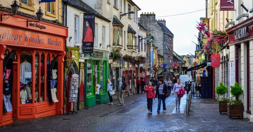 IndicatedEnclosure · 825 yd
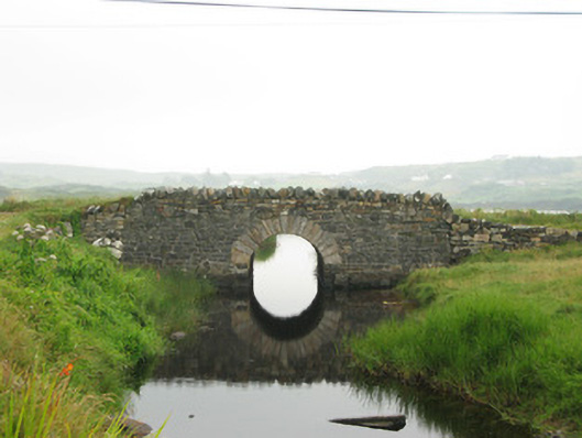 bridgebridge · 1305 yd
 BallynewMountain / peak · 1662 yd
 ClegganVisitor information · 1.4 mi
 Cleggan fishing disaster 28th October 1927Memorial · 1.4 mi
 GlassillaunIslet · 2.2 mi
 Bawn in Doon (ballynahinch By.)Bawn · 2.3 mi
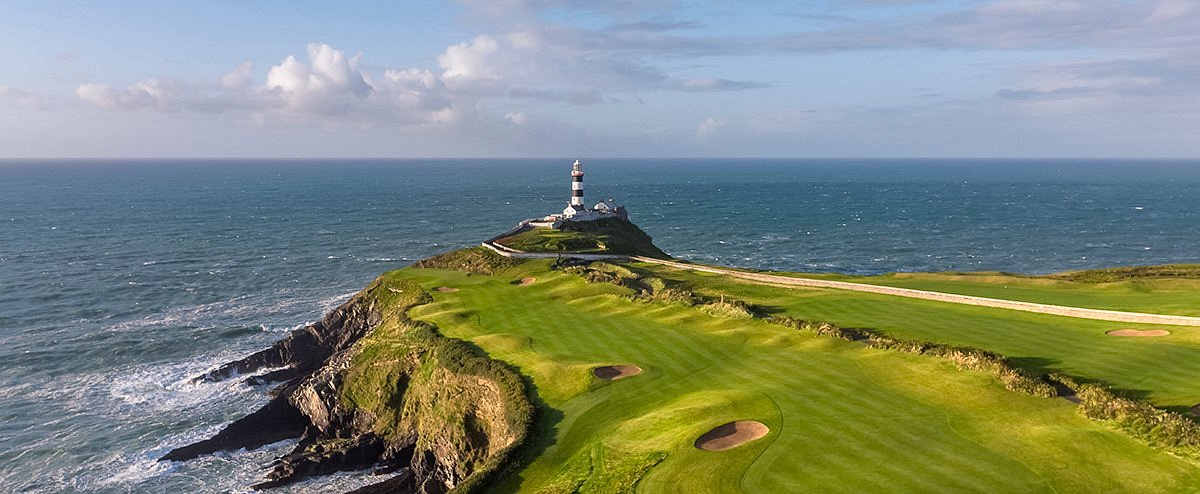 Freaghillaun SouthMountain / peak · 2.5 mi
 Boolard IslandIslet · 2.8 mi
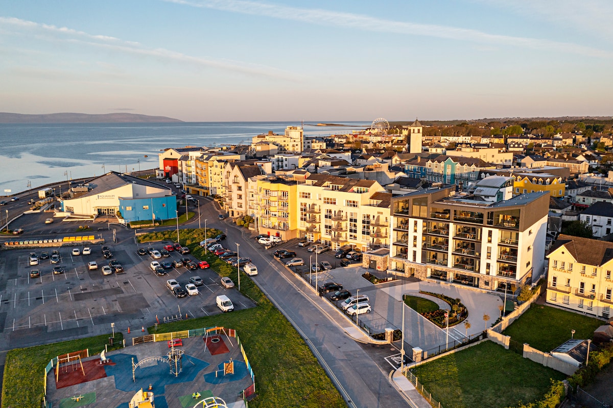 Acton BeachBeach / strand · 2.8 mi