What is recorded here
In rough hill grazing, on an area of cutaway bog, on a S-facing slope overlooking Glengarriff Harbour. A network of relict stone field boundaries (T 0.5m; H 0.6m) occurs in a roughly rectangular area (c. 300m N-S; c. 150m E-W). The boundaries protrude intermittently above the remaining shallow bog and are both linear and curvilinear in form. The walls disappear into occasional patches of uncut bog and several gaps were noted along the stretches. Eight fulachtaí fia (CO090-016002-, CO090-016003-, CO090-016004-, CO090-016005-, CO090-016006-, CO090-016008-, CO090-016009-, CO090-016010-) and two burnt mounds (CO090-016007-, CO090-016011-) occur within the network of relict field boundaries.
The above description is derived from 'The Archaeological Inventory of County Cork. Volume 5' (Dublin: Stationery Office, 2009).
Date of upload: 22 December 2009
The monument record does not grant public access. Check the route and ask the landowner before entering private land.
- What survives
- Recorded monument
Places near here
 Field boundary in Currakeal (bear By.)Field boundary · 237 yd
 CairnCairn, radial-stone cairn · 292 yd
 Tasmanian bluegumTasmanian bluegum · 1324 yd
 Glengarriff Eccles Hotelhotel · 1372 yd
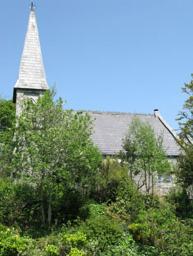 The Old Church Caféchurch/chapel · 1516 yd
 The Blue PoolHeritage attraction · 1.0 mi
 Graveyard in CappyaughnaGraveyard · 1.1 mi
 Friars IslandIslet · 1.1 mi
 Calf IslandIslet · 1.1 mi
 Lady Bantry's LookoutViewpoint · 1.3 mi
 Glengarriff WoodsWood · 1.6 mi
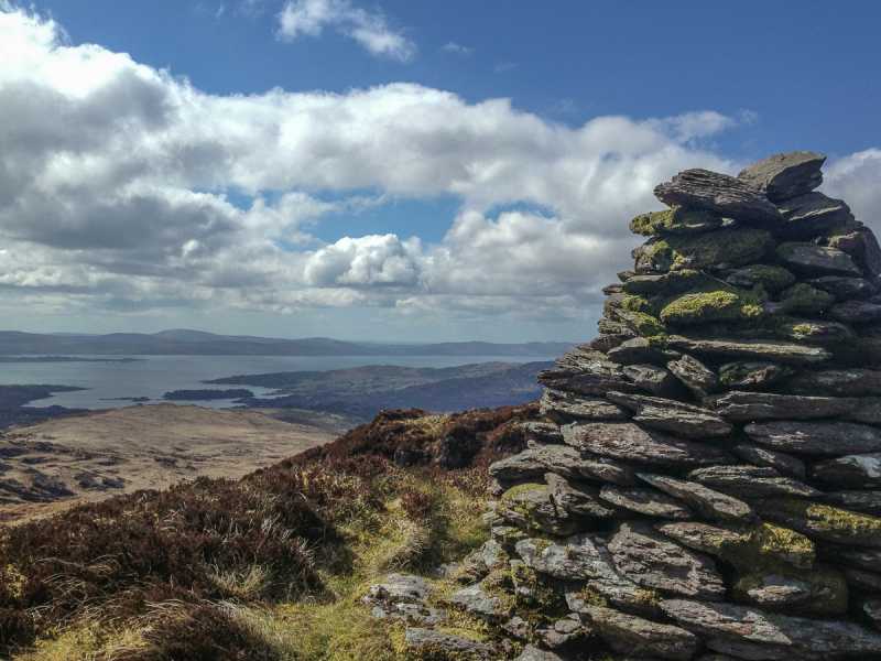 Barraboy Mountain SE TopMountain / peak · 1.6 mi