What is recorded here
Thirty metres of ancient wall still slope upward through the bog on Rosleague, though fire-breaks and forest erased the summit markers. The boundary crossed a living hill where people once walked, measured or kept animals before peat swallowed the edge. It is not a grand ruin, but a thin line of continuity: human effort marking land, then landscape changing the meaning of the mark.
On SE-facing slope close to the summit of a prominent hill. A short stretch of pre-bog wall is visible in cutaway bog (L c. 30m) running roughly E-W uphill where it is covered by a thin layer of peat. Obliterated by a fire-break and forest on the hill summit. There is a stone pair (GA023-030----) to SSW and the site of a standing stone (GA023-029----) to NW, both on summits of the same hill.
The above description is derived from the published 'Archaeological Inventory of County Galway Vol. I - West Galway'. Compiled by Paul Gosling (Dublin: Stationery Office, 1993).
Date of upload: 05 August 2010
The monument record does not grant public access. Check the route and ask the landowner before entering private land.
- What survives
- Recorded monument
Places near here
 Enclosure in RosleagueEnclosure · 136 yd
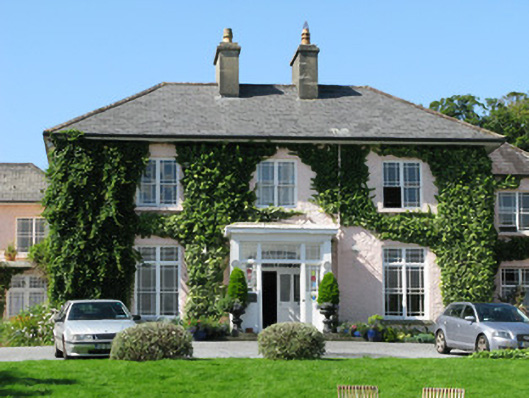 Rosleague Housecountry house · 509 yd
 Enclosure in RoscreaEnclosure · 828 yd
 Keelkyle Quayquay/wharf · 863 yd
 RoeillaunIslet · 1.1 mi
 Connemara National Park Visitor CentreHeritage attraction · 1.4 mi
 Connemara National ParkNational park · 1.4 mi
 DerrylahanMountain / peak · 1.8 mi
 Tully MountainMountain / peak · 2.4 mi
 Cabbage treeCabbage tree · 2.9 mi
 GlassillaunIslet · 3.4 mi
 Monterey PineMonterey Pine · 3.6 mi