What is recorded here
Located within the Connemara National Park in an area of bogland, now grazed by sheep, on the lower N slopes of Knockbrack. This possible pre-bog field wall (L min. 13m) is defined by a line of boulders running SW-NE. It disappears under the bog at its SW end. Another pre-bog field wall lies c. 148m to the E. The field wall was brought to the attention of the Archaeological Survey of Ireland by Helen Riekstiņš.
Compiled by: Olive Alcock with information supplied by Helen Riekstiņš
Date of upload: 1 April 2021
The monument record does not grant public access. Check the route and ask the landowner before entering private land.
- What survives
- Recorded monument
Places near here
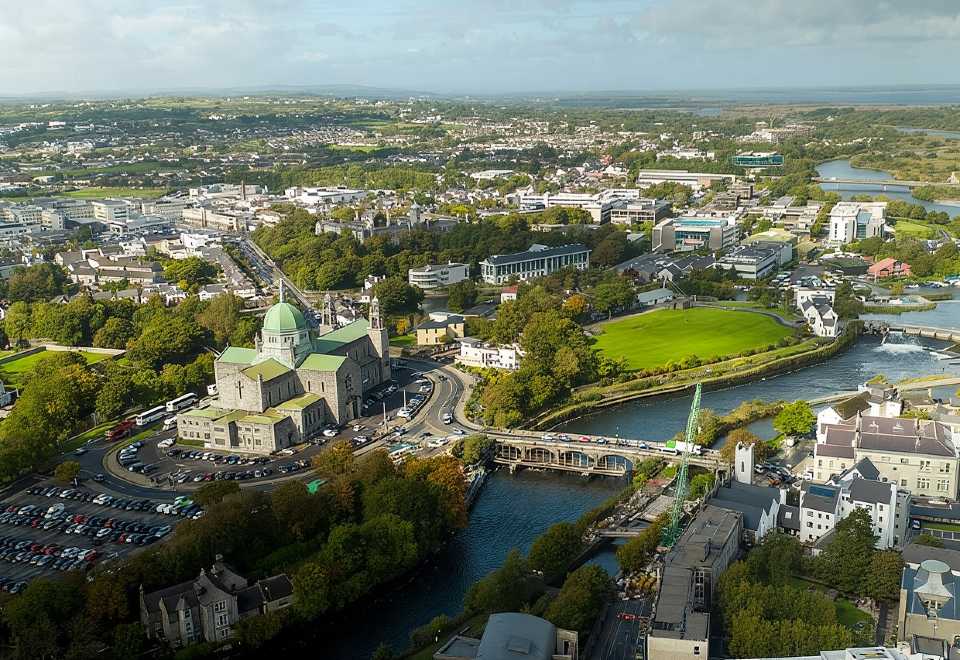 Tober MweelinHoly well · 472 yd
 Ice Ho.Icehouse · 866 yd
 Cnoc BreacMountain / peak · 1095 yd
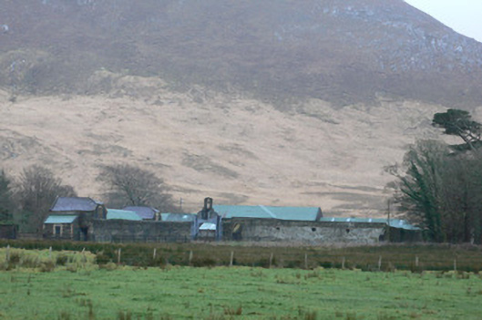 Kylemore Farm Housefarmyard complex · 1110 yd
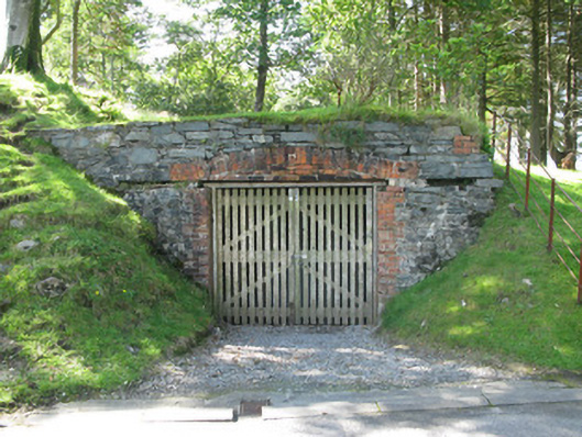 Kylemore Abbeyboathouse · 1183 yd
 Monterey PineMonterey Pine · 1223 yd
 BenbaunMountain / peak · 1503 yd
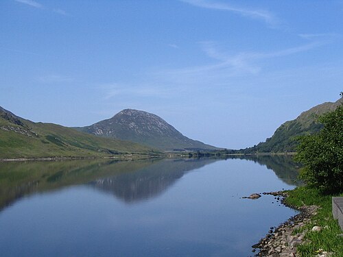 Binn GhuaireMountain / peak · 1.3 mi
 Cabbage treeCabbage tree · 1.3 mi
 Connemara National ParkNational park · 2.5 mi
 Lettergesh BeachBeach / strand · 3.9 mi
 Glassilaun BeachBeach / strand · 4.4 mi