What is recorded here
In cutaway bog on N-facing slope a short distance to S of Streamstown Bay. An isolated stretch of curving pre-bog wall (L 30m) built of loose stone and some upright slabs (Wth 1.4m, H 0.4m). Disappears into uncut bog at NW and E ends. A subcircular hut (D 1.8-2m int.), defined by a low bank of earth and stone, lies c. 3m S o3f the wall.
The above description is derived from the published 'Archaeological Inventory of County Galway Vol. I - West Galway'. Compiled by Paul Gosling (Dublin: Stationery Office, 1993).
Date of upload: 05 August 2010
The monument record does not grant public access. Check the route and ask the landowner before entering private land.
- What survives
- Recorded monument
Places near here
 Bawn in Doon (ballynahinch By.)Bawn · 961 yd
 Kill ChurchChurch · 984 yd
 Boolard IslandIslet · 1039 yd
 Shaft of Copper MineMine · 1173 yd
 Sky RoadViewpoint · 1626 yd
 Grave Yd.Graveyard · 1.1 mi
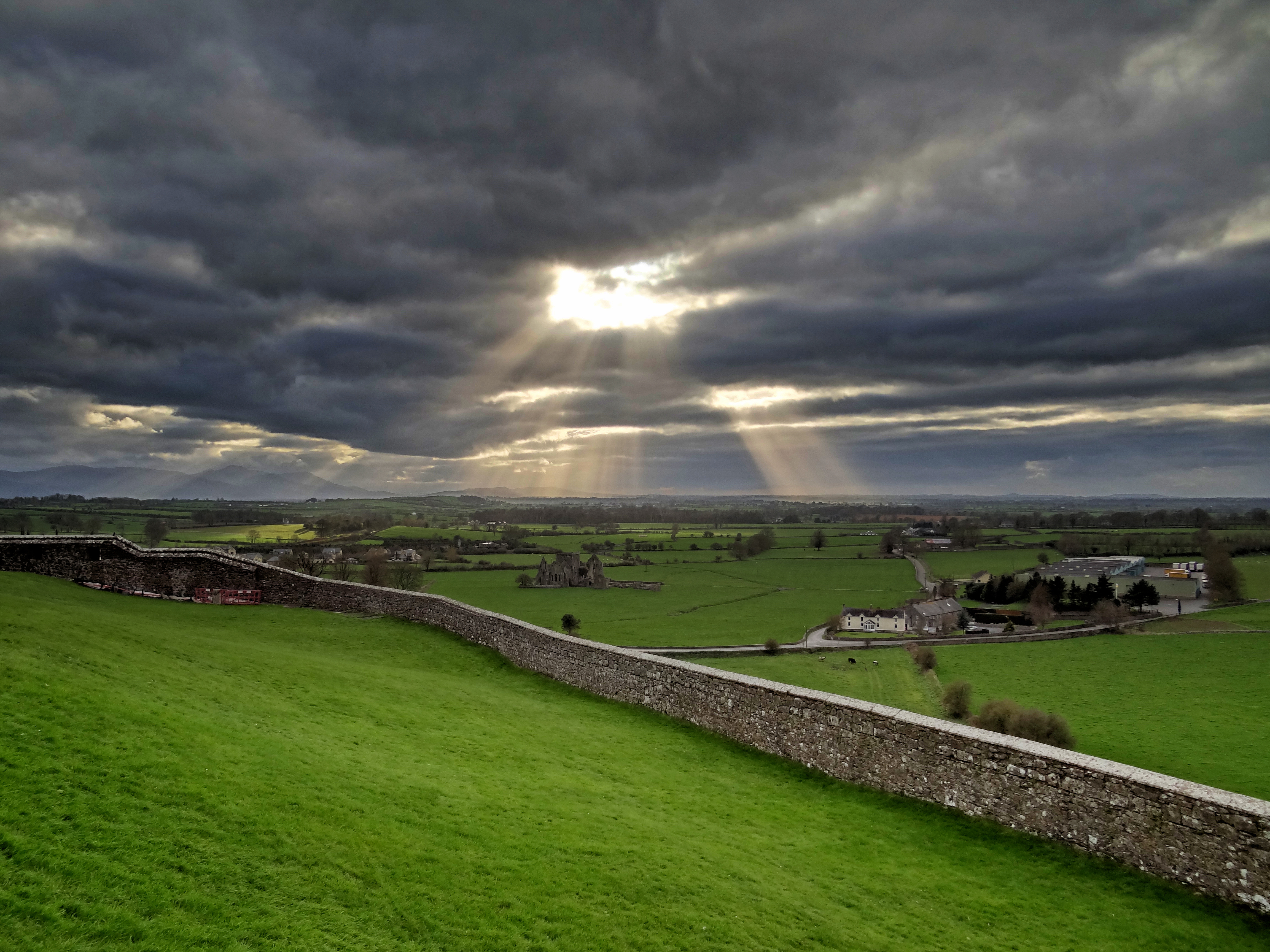 Mass-rock in CushatroughMass-rock · 1.3 mi
 Hog IslandIslet · 2.3 mi
 Acton BeachBeach / strand · 2.4 mi
 Abbeyglen Castle HotelCastle · 2.5 mi
 Lavelle Art GalleryGallery · 2.9 mi
 ClegganVisitor information · 3.4 mi