What is recorded here
Kealagowlane is a lost place name preserved only in a field boundary record, not a visible town or village. The story is that human memory can disappear while stone memory remains exposed. That contrast belongs in the game, because the place still exists through the boundary and the story warnings saved it from being forgotten.
In rough pasture, on a bog-covered terrace, on the S-facing rocky slopes of Sugarloaf Mountain. The remains of a relict stone field boundary (T 0.5m; H 0.3m) protrude intermittently above the rush-covered surface of the bog. The relict wall extends in a SW direction for c. 40m and then continues in a NW direction for a further c. 70m, skirting the S side of a multiple-stone circle (CO104-027001-). 'The Beara Way' walking route is situated c. 30m to the S.
The above description is derived from 'The Archaeological Inventory of County Cork. Volume 5' (Dublin: Stationery Office, 2009).
Date of upload: 22 December 2009
The monument record does not grant public access. Check the route and ask the landowner before entering private land.
- What survives
- Recorded monument
Places near here
 Boulder-burial in KealagowlaneBoulder-burial · 36 yd
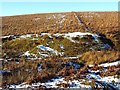 Burnt mound in KealagowlaneBurnt mound · 126 yd
 Sugarloaf MountainMountain / peak · 794 yd
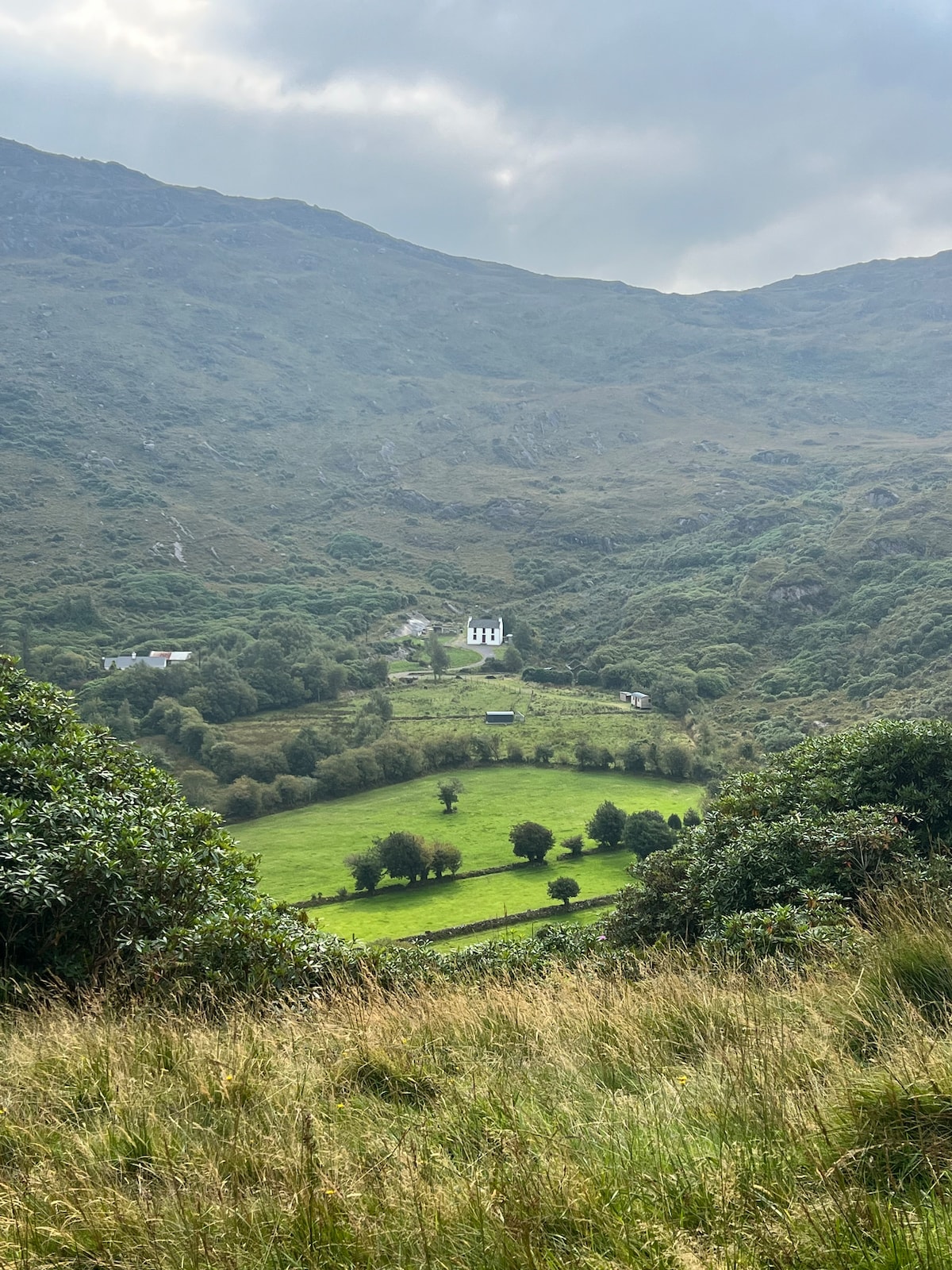 Ahnaclaha BrBridge · 1175 yd
 Gowlbeg MountainMountain / peak · 1651 yd
 Penitential station in DerreenacarrinPenitential station · 1.3 mi
 Old Stone CottagesHeritage attraction · 1.8 mi
 Garinish WestIslet · 1.9 mi
 IllaunageraghIslet · 2.0 mi
 Mehal HeadHeadland · 2.9 mi
 Four Heads PointHeadland · 3.3 mi
 Glengarriff WoodsWood · 3.6 mi