
What is recorded here
Fastry fort is a triple-banked ringfort at the north end of a drumlin ridge in County Monaghan, its entrances aligned southeast across causeways that cut through two fosses. The banks have widened and softened until they read as rolling grass rather than defensible earth, yet the geometry remains exact: three rings, two ditches, one deliberate opening. People may have lived inside, herded around it, or simply avoided it after dark. The fairies, according to local story, kept the fort for themselves.
Situated at the N end of a N-S drumlin ridge. This is a circular grass and scrub-covered area (diam. 42m N-S) defined by three overgrown earthen banks and two intervening fosses. The innermost bank (Wth of base c. 4m; int. H 0.3-0.7m; ext. H 1.4-1.8m) is separated by a fosse (Wth c. 3m) from the middle bank (Wth of base c. 4m; int. H c. 1-1.4m; ext. H c. 2-2.3m). A second fosse (Wth of base 1.5m; ext. D 1.5m) separates the middle bank from the third (Wth c. 4m; ext. H c. ext. H 0.6m at S to c. 2m at E) bank. There are entrances through the inner (Wth of base 2.1m), middle (Wth o base 2.8m) and outer (Wth of base 4m) banks at SSE with a causeway across the inner (Wth of top 5m; H 0.3m) and outer fosses.
The above description is derived from the published 'Archaeological Inventory of County Monaghan' (Dublin: Stationery Office, 1986). In certain instances the entries have been revised and updated in the light of recent research.
Revised by: Michael Moore
Date of revision: 20 June 2018
The monument record does not grant public access. Check the route and ask the landowner before entering private land.
- What survives
- Recorded monument
Places near here
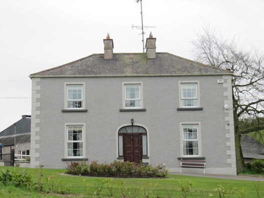 Lake Viewhouse · 316 yd
 Fairy fort / earthen ringfort in Aghareagh EastFairy fort / earthen ringfort · 1111 yd
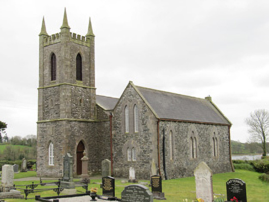 Drum Church (Currin)church/chapel · 1529 yd
 IndicatedFairy fort / earthen ringfort · 1666 yd
 BarraghMountain / peak · 1.0 mi
 CortoberMountain / peak · 1.1 mi
 Whitelough PlantationsForest · 1.1 mi
 Church WoodForest · 1.4 mi
 Bawn in DrumsheilBawn · 1.8 mi
 Site of Old CastleCastle, unclassified · 2.7 mi
 Giant's GraveArchaeological place · 3.5 mi
 Graveyard in Drumgoon (clankee By.)Graveyard · 5.3 mi
Other information
Photo: Credit not shown in the picture search · Rights wording not checked; contact us if this picture should be removed