
More pictures of this place


What is recorded here
It survived after people stopped using it as intended. 1860, to north on a square plan, now disused and partly derelict.
Detached five-bay single- and two-storey early-Victorian railway station, dated 1859, comprising two-bay single-storey glazed central bay with single-bay single-storey gabled advanced end bay to west and two-bay two-storey gabled advanced end block to east having three-bay side elevations. Pitched slate roof with clay ridge tiles, timber fascias to eaves and verges and ashlar chimneystack. Snecked limestone ashlar walls with hammered finish having rock-hewn finish to quoins, and smooth finish to projecting band at eaves, verges and to plinth. Swept-arch headed openings with raised and lugged limestone surrounds and keystones and having timber six-over-six pane sliding sash windows. Double-leaf glazed doors. Flush surrounds to side and south openings. Blocked doorway with rock-hewn surround and steps on south elevation. Moulded cornices to waiting room and ticket office interior. Timber wainscoting, panelled doors and window cases to interior. Cast-iron neo-Classical fireplace to waiting room. Attached single-bay single-storey outbuilding to west. Single-arch cast-iron pedestrian bridge over railway line, built c. 1860, to east with pair of flights of steps. Detached single-bay single-storey over raised basement gable-fronted signal box with attic, built c. 1860, to west retaining original fenestration with flight of steps to entrance and three-bay side elevations. Detached five-bay double-height goods shed, built c. 1860, to west retaining original fenestration with single-bay single-storey recessed end bay to east. Detached single-bay single-storey limestone ashlar water tower, built c. 1860, to north on a square plan, now disused and partly derelict.
1860, to north on a square plan, now disused and partly derelict.
The story behind this place
1860, to north on a square plan, now disused and partly derelict.
This does not grant access. Most recorded buildings are privately owned; view them only from public ground unless the owner allows entry.
Places near here
 Proclomation of the RepublicMonument · 155 yd
 Fulacht fia in Dromore (magunihy By.)Fulacht fia · 383 yd
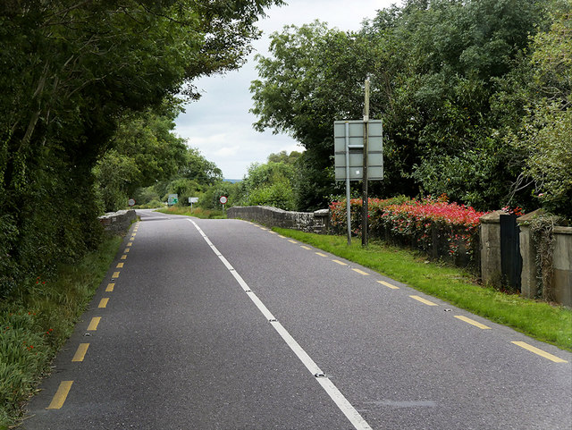
 Farranfore Br.Bridge · 440 yd
 O'Connell Bridgebridge · 1716 yd
 Site of Currans CastleCastle, unclassified · 1.6 mi
 CastleCastle, ringwork · 1.8 mi
 The Kerry Creamery ExperienceHeritage attraction · 6.4 mi
 Aghadoe Early Medieval Ecclesiastical SiteHeritage attraction · 6.7 mi
 Famine MemorialMemorial · 7.6 mi
 GinkgoGinkgo · 7.8 mi
 Circular WalkWalking route · 7.9 mi
 Kerry 2nd Brigade of the Irish Republican ArmyMemorial · 7.9 mi
Other information
Photo: Wikimedia Commons contributor · CC BY-SA 3.0