What is recorded here
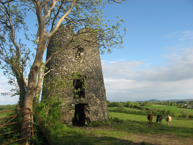
A named place photographed at this map point in Dorset.
Roke Hill rises to approximately 140 metres and is part of the Cranborne Chase chalk plateau, an area rich in Neolithic and Bronze Age archaeological remains. The hill's name may derive from Old English, with "Roc" suggesting a promontory or rocky feature, and it lies within a landscape historically significant for its Iron Age hill forts and ancient trackways.
Places near here
Pump HouseListed building · 1525 yd
Edmondsham HouseListed building · 1712 yd
Dorset Heavy Horse CentreHeritage attraction · 1716 yd
Castle Hill, Cranborne, DorsetCastle, fort or tower · 1.1 mi
King BarrowMountain / peak · 1.2 mi
Pistle DownMountain / peak · 1.3 mi
War MemorialMemorial · 1.3 mi
Maldry WoodWood · 1.6 mi
Further Daggons WoodWood · 1.6 mi
BoveridgeVisitor information · 1.8 mi
Stephen's StoneHeritage attraction · 1.9 mi
Knap BarrowArchaeological place · 2.1 miOther information
Photo: Clive Perrin · CC BY-SA 2.0