What is recorded here
The Ordnance Survey Letters (1838-40) noted 'a ruined Cahir of 64 yards diameter on the top of Ballinahinch hill, the greater part of the stones of this extensive Cahir have been carried away to build a boundary wall which runs through the centre of it from North to South' (O'Flanagan 1928, 85).
Compiled by: Claire Breen
Date of upload: 07 February 2013
The monument record does not grant public access. Check the route and ask the landowner before entering private land.
- What survives
- Recorded monument
Places near here
 post boxpost box · 79 yd
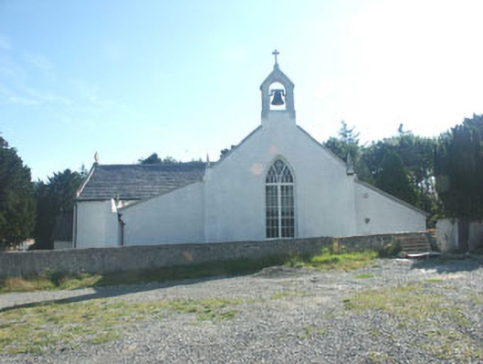 Saint Patrick's Catholic Churchchurch/chapel · 212 yd
 St. Patricks R.C. ChapelFont · 217 yd
 St. Patricks Well (Site of)Holy well · 379 yd
 TuliptreeTuliptree · 1.2 mi
 SycamoreSycamore · 1.3 mi
 CastleCastle, motte · 1.3 mi
 Glenroe FarmHeritage attraction · 1.5 mi
 Delgany Heritage TrailWalking route · 1.7 mi
 Kindlestown Castle (in ruins)Castle, hall-house · 2.0 mi
 Greystones South BeachBeach / strand · 2.5 mi
 Leamore StrandBeach / strand · 3.0 mi