What is recorded here
Situated on a knoll at the base of a W-facing slope. Scrub-covered subcircular area (int. dims 17.8m N-S; 16.3m E-W) defined by a stone spread (Wth 4m; int. H 0.4m; ext. H 1.4m) E-S with intermittently visible facing-stones. Elsewhere the perimeter is reduced to a stony scarp (H 1m at W, 1.3m at N and 1.6m at S). An original entrance is not identified.
The above description is derived from 'The Archaeological Inventory of County Leitrim' compiled by Michael J. Moore (Dublin: Stationery Office, 2003). In certain instances the entries have been revised and updated in the light of recent research.
Date of upload: 23 September 2008
The monument record does not grant public access. Check the route and ask the landowner before entering private land.
- What survives
- Recorded monument
Places near here
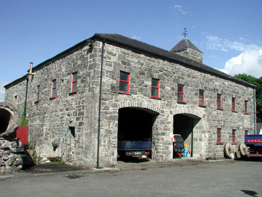 mill (water)mill (water) · 833 yd
 Creevelea AbbeyReligious house, Franciscan friars · 934 yd
 Doonbran Isd.Bawn · 1444 yd
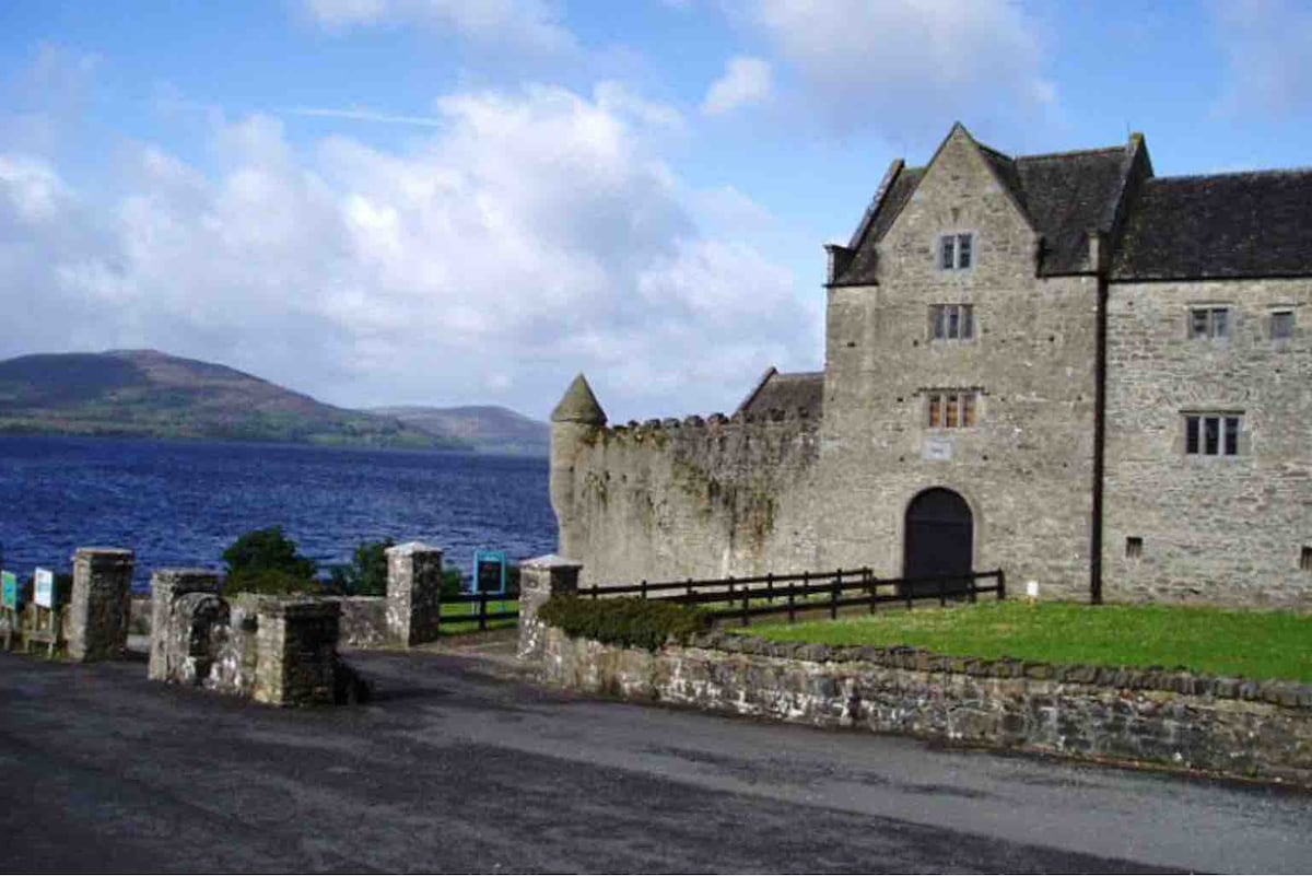 Harrisons CastleHouse, fortified house · 1492 yd
 Enclosure in MullanaskeaghEnclosure · 1540 yd
 Enclosure in SliganaghEnclosure · 1616 yd
 Cullentra ForestForest · 1.2 mi
 Trawane BayBay · 1.7 mi
 InnisfreeIslet · 1.9 mi
 Parke's CastleHeritage attraction · 2.0 mi
 Green IslandIslet · 2.1 mi
 Toberconnell BayBay · 2.8 mi