What is recorded here
That is a ringfort - cashel. It stands on a broad limestone plateau in County Leitrim, Ireland. A grass-covered circular area, about twenty-one metres across, still carries a low stone spread with occasional facing stones. The entrance has disappeared, but the circle remains clear enough to picture people moving through it, marking territory, sheltering, or performing ordinary life under an open sky.
Visible as a circular feature on aerial photographs (GSIAP: G 355-6), it is located on top of a broad limestone plateau. Grass-covered circular area (int. diam. 21m N-S) defined by a stone spread (2.5m; H 0.35m) with intermittently visible facing-stones of a wall (Wth 1.2m). The original entrance is not identified.
The above description is derived from 'The Archaeological Inventory of County Leitrim' compiled by Michael J. Moore (Dublin: Stationery Office, 2003). In certain instances the entries have been revised and updated in the light of recent research.
Date of upload: 23 September 2008
The monument record does not grant public access. Check the route and ask the landowner before entering private land.
- What survives
- Recorded monument
Places near here
 Sweathouse in FawnarrySweathouse · 1257 yd
 Enclosure in Conray (drumahaire By.)Enclosure · 1537 yd
 BenboMountain / peak · 1.7 mi
 Kilcoosey National Schoolschool · 2.4 mi
 Castle CarCastle · 2.4 mi
 Green IslandIslet · 2.6 mi
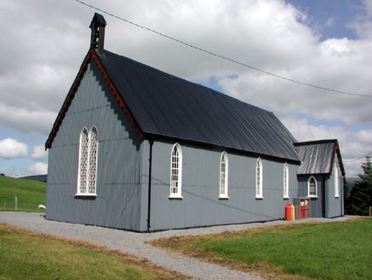 Lurganboy Church (Killasnet)church/chapel · 2.9 mi
 CastleCastle, tower house · 2.9 mi
 Parke's CastleHeritage attraction · 2.9 mi
 Keelogyboy Mountain NE TopMountain / peak · 3.0 mi
 Giants RockNamed rock · 3.2 mi
 Longhill WoodForest · 3.6 mi