What is recorded here
Knockadoon holds a ruined stone ringfort on a low hillock, its circular border still visible beneath pasture and overgrowth. The site measures thirty-one to thirty-three metres across, rises about one and a half metres, and carries the kind of shape people once built to keep out rain, danger, or ordinary forgetfulness. A field fence now crosses part of the ancient wall, blending human ownership into older life. The fort has lost much of its clarity, but it has not stopped being a place where someone stood together and marked the edge of their world.
In pasture, on low hillock. Raised (H 1.5m) circular area (31m N-S; 33m E-W), enclosed by ruined stone wall. Stone field fence overlies site N to W. Site is heavily overgrown.
The above description has been derived from D. Lavelle (compiler), An Archaeological Survey of Ballinrobe and District including Lough Mask and Lough Carra. Lough Mask and Lough Carra Tourist Development Association (1994), No. 292.
Date of upload: 30 October 2013
The monument record does not grant public access. Check the route and ask the landowner before entering private land.
- What survives
- Recorded monument
Places near here
 CastleCastle, unclassified · 1 yd
 IndicatedFairy fort / earthen ringfort · 477 yd
 Church (in Ruins)Church · 872 yd
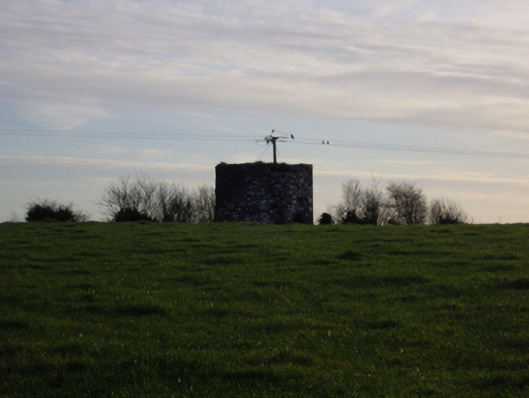 dovecote/pigeon house/aviarydovecote/pigeon house/aviary · 1.1 mi
 Castle (in Ruins)Castle, tower house · 1.1 mi
 Dormbeg Island NorthIslet · 1.8 mi
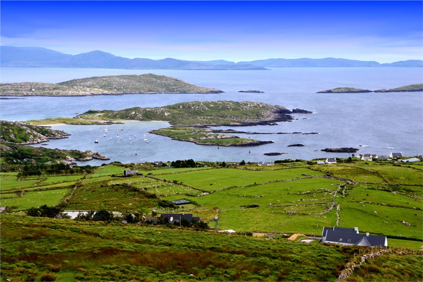 illanatrim islandIslet · 1.8 mi
 Enclosure in BloomfieldEnclosure · 1.8 mi
 SycamoreSycamore · 1.8 mi
 Kiltoom PointHeadland · 2.9 mi
 Moore Hall ForestForest · 3.2 mi
 LabbadermotCave · 5.4 mi