What is recorded here
Mortimer's army marched past Kiltaan in 1598, yet the stone ringfort still stands inside later field walls. Its broad entrance faces southeast toward open pasture, inviting entry rather than blocking it. Two other cashels watch from nearby slopes, forming a small triangle of ancient boundaries. The fort is not abandoned; it has been absorbed into the living landscape, its purpose changed but its presence unbroken.
In pastureland on ground sloping slightly down to the S and W, within a multiperiod field system (CL009-013001-). Hachured on the 1842 and 1920 eds. of the OS 6-inch map. A drystone field wall (H 1.4-1.5m) has been built on the line of the outer wall-face of this subcircular cashel (ext. dims. 22.3m E–W; 21.8m N–S), which is reduced to a grass-covered stone spread (int. H 0.4m); inner and outer wall-facing at N indicate that the original wall was 2m wide. A stone-lined entrance gap (Wth 0.95m) is visible at SE. Within the interior a band of stones (Wth 1-2m; H 0.5m) has been piled against the drystone wall, it increases in width at E (Wth 5m). An L-shaped stone wall (max. H 1.5m) is located outside the cashel wall, c. 1m to the E of the entrance. There is a cashel (CL009-013010-) c. 48m to the SSE and another one (CL009-013008-) c. 94m to the NW.
Compiled by: Olive Alcock and Conn Herriott
Date of upload: 21 October 2021
The monument record does not grant public access. Check the route and ask the landowner before entering private land.
- What survives
- Recorded monument
Places near here
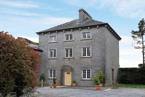 IndicatedFairy fort / stone ringfort · 510 yd
 Enclosure in KiltaanEnclosure · 642 yd
 Noughaval Crossmonument · 706 yd
 Saint Mochua's Catholic Churchchurch/chapel · 735 yd
 Site of Ballymurphy CastleCastle, tower house · 1019 yd
 Site of Binroe CastleCastle, unclassified · 1.1 mi
 Cave of the Wild HorsesCave · 1.5 mi
 Cahermacnaghten CashelHeritage attraction · 1.8 mi
 CaherconnellHeritage attraction · 2.1 mi
 Poulnabrone - Burren GeositeVisitor information · 2.4 mi
 The Portal TombVisitor information · 2.5 mi
 Cullaun 5 (C5b)Cave · 2.5 mi