What is recorded here
Killenny is not an imaginary fairy fort. It is a ruined cashel on Killenny Hill beside the Old Church, a circular stone structure about fifty feet across with lime mortar still trapped inside the broken walls. Neighbours called it an O'Moore castle, which is more likely than fairy magic. The O'Moores were real people in County Laois, and hilltop cashels were their kind of fortress.
Unlocated cashel within townland described in the History of Queen's County as a cashel located on top of Killenny Hill near the Old Church which consists of a circular building and limestones, scattered in great profusion, over a circular area of about fifty feet in diameter. These stones are intermixed with what appeared to the writer to have been mortar or cement. The neighbouring people say that there was formerly a castle belonging to the O'Moores on top of the hill (O'Hanlon and O'Leary 1907, VOL. 1, 255).
Compiled by: Caimin O'Brien
Date of upload: 17 December 2007
The monument record does not grant public access. Check the route and ask the landowner before entering private land.
- What survives
- Recorded monument
Places near here
 Killenny Ch. (in Ruins)Church · 618 yd
 Catholic Church of the Assumptionchurch/chapel · 770 yd
 IndicatedEnclosure · 876 yd
 Enclosure in Greatheath (maryborough East By.)Enclosure · 1015 yd
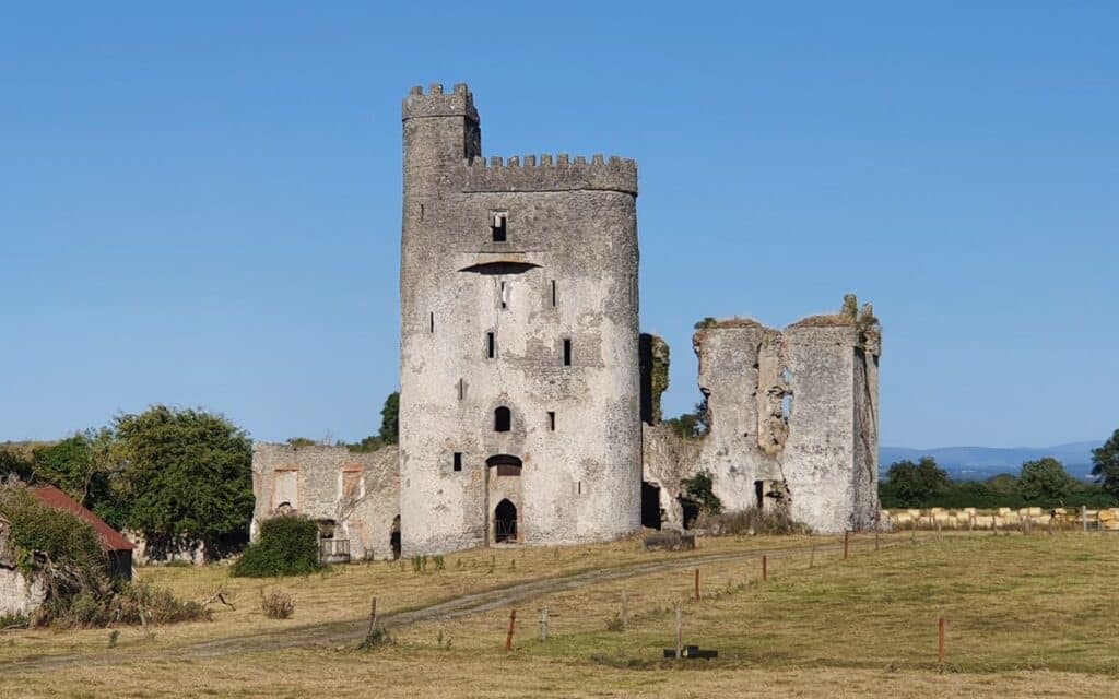 CastleCastle, unclassified · 1.3 mi
 Morett Castle (in ruins)House, fortified house · 1.4 mi
 Rock of DunamaseCastle · 1.8 mi
 Rock of Dunamase InformationVisitor information · 1.8 mi
 European YewEuropean Yew · 3.4 mi
 Giant SequoiaGiant Sequoia · 3.4 mi
 Emo CourtHeritage attraction · 3.5 mi
 CEMETERYGraveyard · 4.2 mi