What is recorded here
Moss smotheres the fort in Drumcliff, but angled stones still break through to mark a narrow gate. The ring measures twenty-five metres across, large enough for a family farm or small refuge, yet the local name assigns it to fairies. Human hands built the wall, fairies inherited the story, and both claims shape the way people remember the place.
Situated on a broad but slight N-S ridge within a coniferous forest. Listed as 'Enclosure' in the SMR (1992) and the RMP (1996). Hachured on the 1842 and 1921 eds. of the OS 6-inch map. A subcircular area (int. diam. 25m E-W; 23.1m N-S) defined by a moss-covered stone spread (Wth 2.4-3.5m; H 0.4-0.9m) with occasional facing stones (original Wth 0.8-1m).
Compiled by: Michael Moore
Date of upload: 24 May 2016
The monument record does not grant public access. Check the route and ask the landowner before entering private land.
- What survives
- Recorded monument
Places near here
 Enclosure in DrumcliffEnclosure · 863 yd
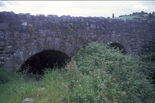 Ballymacquiggan Bridgebridge · 1056 yd
 Church (in ruins)Church · 1082 yd
 Cloigtheach (Round Tower)Round tower · 1088 yd
 Post Office FieldNature reserve · 1.7 mi
 Ennis AbbeyMuseum · 1.8 mi
 Clare MuseumMuseum · 1.9 mi
 Shallee Castle (in Ruins)Castle, tower house · 1.9 mi
 CastleCastle, tower house · 2.0 mi
 Ardcarney WoodWood · 2.1 mi
 Poul na gollorCave · 2.5 mi
 Alice and Gwendoline CaveMuseum · 3.3 mi