What is recorded here
Clearing the field may have built the fort, reversing the usual order of human effort. A fifty-meter circle of angular stone sits on a west-facing slope, its interior filled with rejected rock rather than saved soil. The small inner chamber in the southwest quadrant still holds its shape, waiting for the breath of someone who never arrived.
In pasture, on W-facing slope, below crest of hill. Circular area (31m N-S; 32m E-W) defined by stone bank (H 1.4m). Bank spread widely; line of contiguous orthostats along centre line bank to W. Interior used as dumping ground for field clearance debris. Circular hut site (CO093-044001-) in SW quadrant (diam. 5m) defined by stone bank (H 0.5m).
The above description is derived from the published 'Archaeological Inventory of County Cork. Volume 1: West Cork' (Dublin: Stationery Office, 1992). In certain instances the entries have been revised and updated in the light of recent research.
Date of upload/revision: 14 January 2009
The monument record does not grant public access. Check the route and ask the landowner before entering private land.
- What survives
- Recorded monument
Places near here
 BarrowBarrow, ring-barrow · 792 yd
 Fulacht fia in Tullagh (carbery East (w.d) By.)Fulacht fia · 1061 yd
 Togher CastleCastle, tower house · 1.5 mi
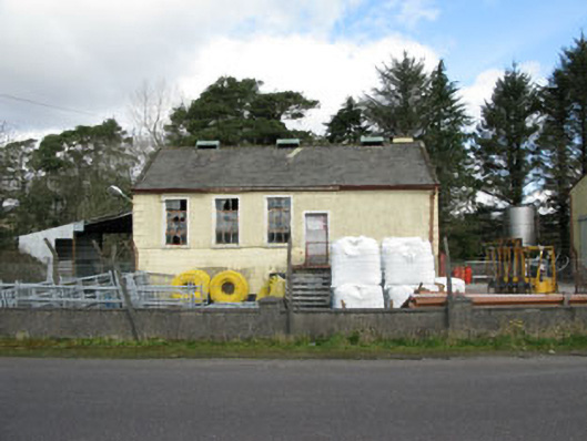 Togher Creamerycreamery · 1.5 mi
 Coolmountain Schoolschool · 1.6 mi
 Gortnahoughtee Mass RockNamed rock · 1.6 mi
 Funmanway Adventure LandHeritage attraction · 2.6 mi
 Mount ProspectMountain / peak · 2.6 mi
 Mount GunneryMountain / peak · 2.9 mi
 Graveyard in Dunmanway NorthGraveyard · 4.1 mi
 OCrowleys Castle (in Ruins)Castle, tower house · 4.1 mi
 Dunmanway Heritage CentreVisitor information · 4.3 mi