What is recorded here
Fairy fort / stone ringfort in Creevagh North (kilmaine By., Kilmolara Par.) stands on high ground above County Mayo, its fifty-metre circular boundary marked by a broken stone wall and a square hut site buried beneath vegetation. The position commands a wide view, suggesting people valued the outlook enough to shape the rock into a defensible or ceremonial space. Time has softened the edges, but the geometry remains clear: a deliberate circle on living stone, waiting to be seen.
In rock outcrop, on high ground, with a commanding view. Circular area (diam. c. 50m), heavily overgrown, enclosed by remains of stone wall (H 0.4m; Wth 1.8m). Square-shaped hut site (diam. 6.3m) (MA118-092002-) in interior.
The above description has been derived from D. Lavelle (compiler), An Archaeological Survey of Ballinrobe and District including Lough Mask and Lough Carra. Lough Mask and Lough Carra Tourist Development Association (1994), No. 274.
Date of upload: 20 December 2013
The monument record does not grant public access. Check the route and ask the landowner before entering private land.
- What survives
- Recorded monument
Places near here
 Castle in ruinsCastle, tower house · 426 yd
 Enclosure in Creevagh North (kilmaine By., Kilmolara Par.)Enclosure · 667 yd
 Church in ruinsChurch · 1232 yd
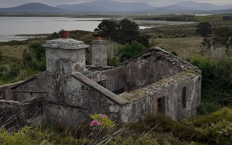 Enclosure in Cahernagry WestEnclosure · 1568 yd
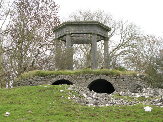 Neale Housefolly · 1.2 mi
 European ashEuropean ash · 2.2 mi
 CastleCastle, unclassified · 2.4 mi
 LabbadermotCave · 2.6 mi
 Long IslandIslet · 4.1 mi
 Shrub IslandIslet · 4.2 mi
 SycamoreSycamore · 4.3 mi
 Quiet Man MuseumMuseum · 5.0 mi