What is recorded here
No visible entrance gap or interior shelf appears in the available description, but the circular stone wall and collapsed outer segment still mark a built boundary. The fort may have excluded herds, marked territory or excluded people during storm and dark. Its stones still stand because they were set to remain visible, not to hide.
In improved pasture, on a gentle S-facing slope. Pockets of native woodland W-NW and forestry and woodland to E. A circular area (diam. 22m) defined by a well-preserved, substantial stone wall (int. H 0.85m; ext. H 1.25m; Wth at top 1.7m; overall Wth 6.4m). There is evidence of stone facing along the interior of the wall top at E. An entrance gap (Wth 3m) is located at N. The interior has a gentle WSW-facing slope and the surface is uneven due to the presence of rock outcrop and loose stones. A portion of collapsed drystone wall (L 8m; Wth 2.5m) extends in a curvilinear fashion from the interior of the enclosing elements at SSW. The ground between this collapsed wall and the main enclosing elements appears sunken.
The following images have been uploaded:
CL035-096----_01.jpg From W. General view of monument.
CL035-096----_02.jpg From SW. Cross sectional view of bank at SE.
CL035-096----_03.jpg From E. General view across interior.
CL035-096----_04.jpg From NNW. Oblique view of entrance at N.
Compiled by: Mary Tunney, Alison McQueen and Vera Rahilly
Date of upload: 14 March 2018
The monument record does not grant public access. Check the route and ask the landowner before entering private land.
- What survives
- Recorded monument
Places near here
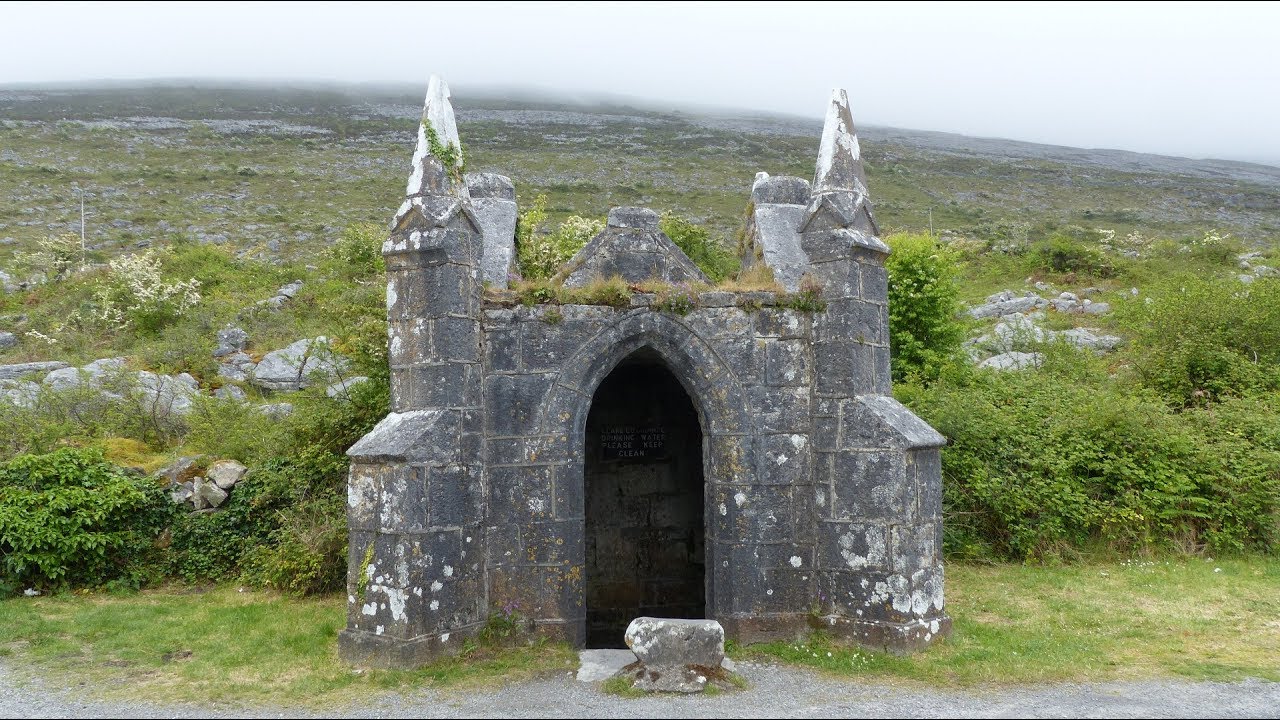 Enclosure in Cloonaherna,gorteen (dangan Ed)Enclosure · 362 yd
 Castle in ruinsCastle, unclassified · 757 yd
 Cloghleagh RockNamed rock · 959 yd
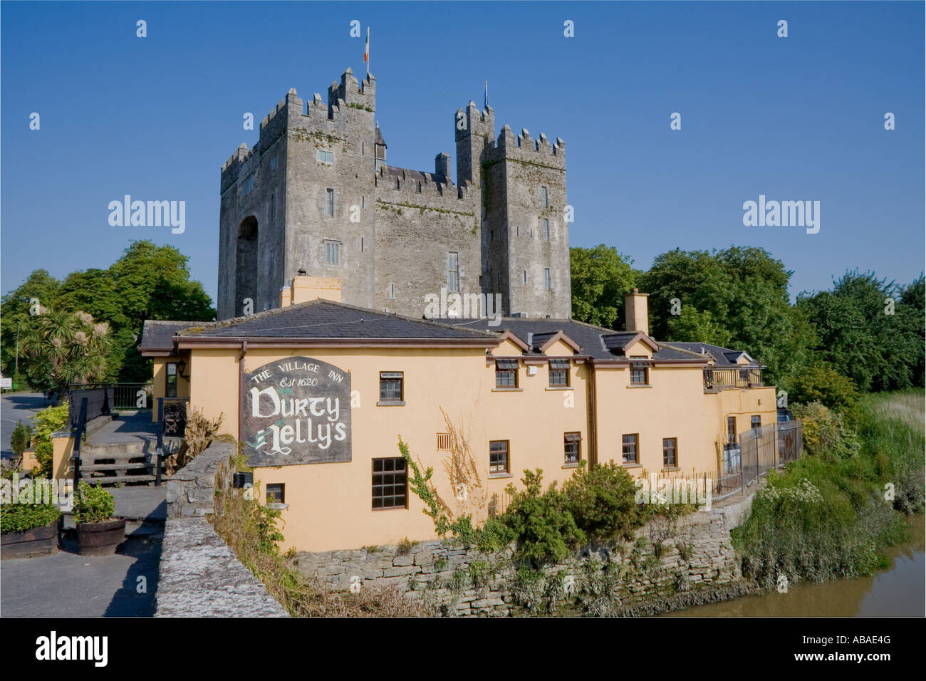 IndicatedEnclosure · 986 yd
 Cullan Castlecountry house · 1135 yd
 Dangan Castle (in ruins)Castle, hall-house · 1211 yd
 The RingfortHeritage attraction · 1351 yd
 Shankill Church (in ruins)Church · 1440 yd
 CraggaunowenNationally known place · 1467 yd
 islandWood · 3.9 mi
 Mooghaun WoodsWood · 4.6 mi
 Mass RockMemorial · 5.1 mi