What is recorded here
That is a cashel, a stone ringfort on a low plateau in County Leitrim. It measures about thirty metres across, has a grass-covered centre, and still shows faint traces of a wall with facing stones. People may have lived there, fenced stock, or simply marked the edge of a field before the wall softened into grass. What remains is small, quiet, and old enough to stop being obvious.
Located on a low-lying plateau with areas of rock outcrop. It is indicated only on the 1907 edition of the OS 6-inch map where it is described as the site of a cashel. This is a grass-covered circular area (int. diam. c. 18m; ext. diam. c. 30m) defined by slight traces of a stone wall with facing-stones.
The above description is derived from 'The Archaeological Inventory of County Leitrim' compiled by Michael J. Moore (Dublin: Stationery Office, 2003). In certain instances the entries have been revised and updated in the light of recent research.
Date of upload: 23 September 2008
The monument record does not grant public access. Check the route and ask the landowner before entering private land.
- What survives
- Recorded monument
Places near here
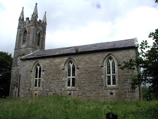 Killarga Churchchurch/chapel · 1652 yd
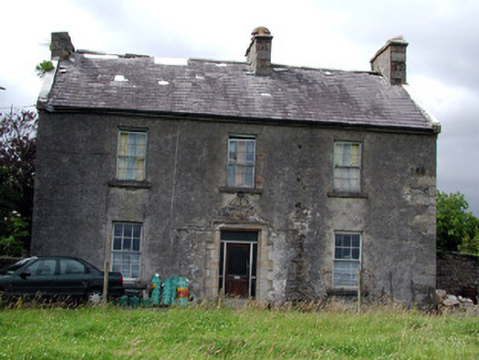 Drumkeel Housefarm house · 1.2 mi
 Enclosure in BelhavelEnclosure · 1.2 mi
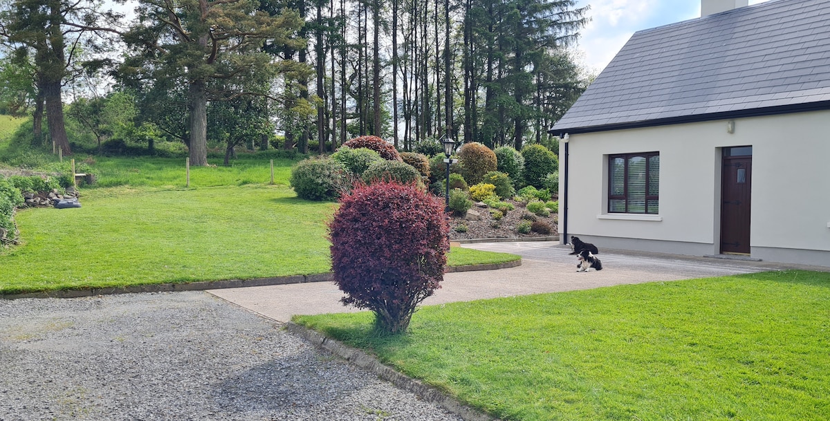 Not ineicatedFairy fort / earthen ringfort · 1.4 mi
 Green IslandIslet · 2.6 mi
 Old HallCastle, hall-house · 2.8 mi
 MoteCastle, motte · 4.2 mi
 Cullentra ForestForest · 4.8 mi
 BenboMountain / peak · 5.0 mi
 Parke's CastleHeritage attraction · 5.3 mi
 Trawane BayBay · 5.3 mi
 The Giants GraveArchaeological place · 5.3 mi