What is recorded here
Recorded as 'ruined cathair' (UCC). Area now extensively quarried and there was no visible trace of the monument when inspected in 1991.
The above description is derived from the published 'Archaeological Inventory of County Cork. Volume 2: East and South Cork' (Dublin: Stationery Office, 1994). In certain instances the entries have been revised and updated in the light of recent research.
Date of upload/revision: 14 January 2009
This remains an important historical record, but the official description says the monument is no longer visible or has been destroyed. The monument record does not grant public access. Check the route and ask the landowner before entering private land.
- What survives
- No visible remains or recorded as destroyed
Places near here
 Castle (in Ruins)Castle, tower house · 577 yd
 Burial in CoppingerstownBurial · 833 yd
 Man-made underground passage in Gearagh (imokilly By.)Man-made underground passage · 1212 yd
 J.H. Bennett and Companymalt house · 1571 yd
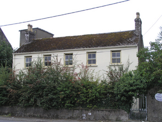 Eastvillehouse · 1600 yd
 Edward BransfieldMemorial · 1690 yd
 Cahermone CastleCastle · 1.1 mi
 Jameson Distillery MidletonHeritage attraction · 1.1 mi
 WW1 MonumentMemorial · 1.2 mi
 Noel Collins BridgeVisitor information · 1.3 mi
 Ballyannan (Bluebell) WoodsForest · 1.5 mi
 N25 Picnic SitePicnic place · 2.5 mi