What is recorded here
Fairy fort / stone ringfort in Carrickadraan is a fairy fort or stone ringfort in Carrickadraan, County Roscommon, Ireland. The circular grass-covered area sits on an east-west drumlin ridge with rock outcrop. A stone spread defines the boundary, while another cashel lies ten metres south and a quarry stands twenty metres west. No visible entrance or facing stones break the circle.
On top of an E-W drumlin ridge with rock outcrop. Circular grass-covered area (int. diam. 22.5m E-W; 21.5m N-S) defined by a stone spread (Wth 4.2-5m; int. H 0.2-0.5m; ext. H 0.1-0.4m). There is no visible entrance or facing stones. Cashel (RO004-018002-) is 10m to the S, and there is a quarry c. 20m to the W.
Compiled by: Michael Moore
Date of upload: 24 August 2010
The monument record does not grant public access. Check the route and ask the landowner before entering private land.
- What survives
- Recorded monument
Places near here
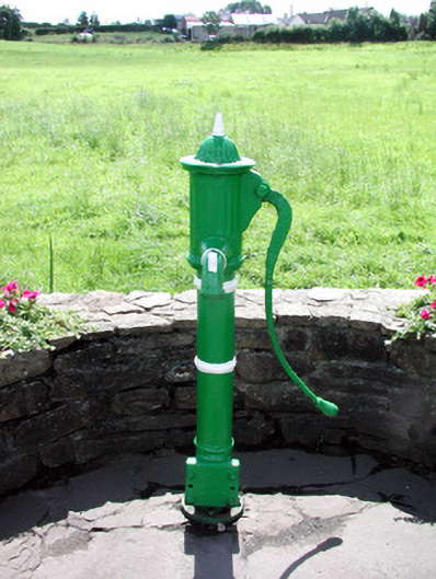 Historic buildingOfficially recorded historic building · 1372 yd
 Sweat Ho. (Disused)Sweathouse · 1415 yd
 IndicatedFairy fort / earthen ringfort · 1508 yd
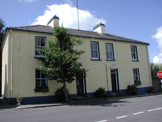 Keadew Garda Síochána Stationgarda station/constabulary barracks · 1531 yd
 Turlough O'CarolanMemorial · 1603 yd
 Derreenargan WoodWood · 1.2 mi
 Loughend IslandIsland · 1.5 mi
 Knockranny WoodsForest · 1.5 mi
 Arigna Mining ExperienceMuseum · 1.7 mi
 Kilronan MountainMountain / peak · 2.0 mi
 Orchard IslandIsland · 2.2 mi
 Josie McDermott MemorialMemorial · 3.8 mi