What is recorded here
No visible wall, ring, fort or even a flat stone circle remains at Cahermore. The house and outbuilding sit on the old line, and the land has closed over whatever marked it.
In pastureland. Marked on the OS 1:2500 plan (surveyed 1912-16) as an irregularly shaped enclosure (c. 45m NE-SW) defined by hachures, overlain by a field boundary, which curve from from SW to NE; on the 1933 edition of the OS 6-inch map the hachures are only indicated from W to N. A number of outhouses lie immediately to the S. On inspection in October 1982 no visible surface trace survived. Current aerial imagery (Google 2019) indicates that a house has been built on its line at NNW and a large outbuilding occupies the interior.
Compiled by: Olive Alcock
Date of upload: 19 July 2019
The monument record does not grant public access. Check the route and ask the landowner before entering private land.
- What survives
- Recorded monument
Places near here
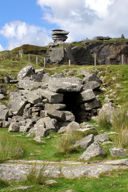 CaveMan-made underground passage · 181 yd
 Maryville Househouse · 360 yd
 Lackmacmahon Stone CrossCross · 653 yd
 Mine in CaherglassaunMine · 1.4 mi
 Drumharsna Castle (in ruins)Castle, tower house · 1.8 mi
 Drumharsna CastleHeritage attraction · 1.8 mi
 Ballymaquiff CastleCastle · 2.1 mi
 European BeechEuropean Beech · 2.2 mi
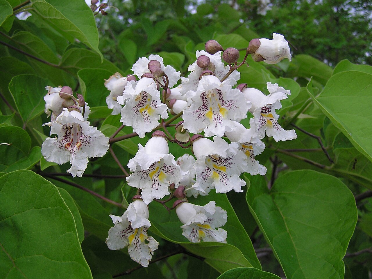 Southern catalpaSouthern catalpa · 2.2 mi
 Mulroney's IslandIslet · 4.0 mi
 Cusheen IslandIslet · 4.4 mi
 Kilmacduagh Monastic SiteVisitor information · 5.0 mi