What is recorded here
No visible stone remains in Caherglassaun grassland, though a low ring once stood forty metres across above the lough. It vanished under grass and forgetting, leaving only the memory of a boundary where human hands had arranged rock. The fairies may have taken it back, or the land may have simply swallowed what it no longer needed. Either way, the absence is the shape of the fort now: a hollow circle the mind completes.
In grassland overlooking Caherglassaun Lough to the S. Marked on the OS 6-inch maps as a subcircular enclosure (c. 40m N-S; c. 36m E-W). Described in 1967 as a 'ring of stones ... low and wide and with some scrub' (SMR file). No visible surface trace survives. An enclosure (GA122-030----) lay c. 200m to the NE.
Compiled by: Galway Archaeological Survey, UCG
Date of upload: 18 February 2019
The monument record does not grant public access. Check the route and ask the landowner before entering private land.
- What survives
- Recorded monument
Places near here
 Mine in CaherglassaunMine · 253 yd
 Enclosure in CaherglassaunEnclosure · 263 yd
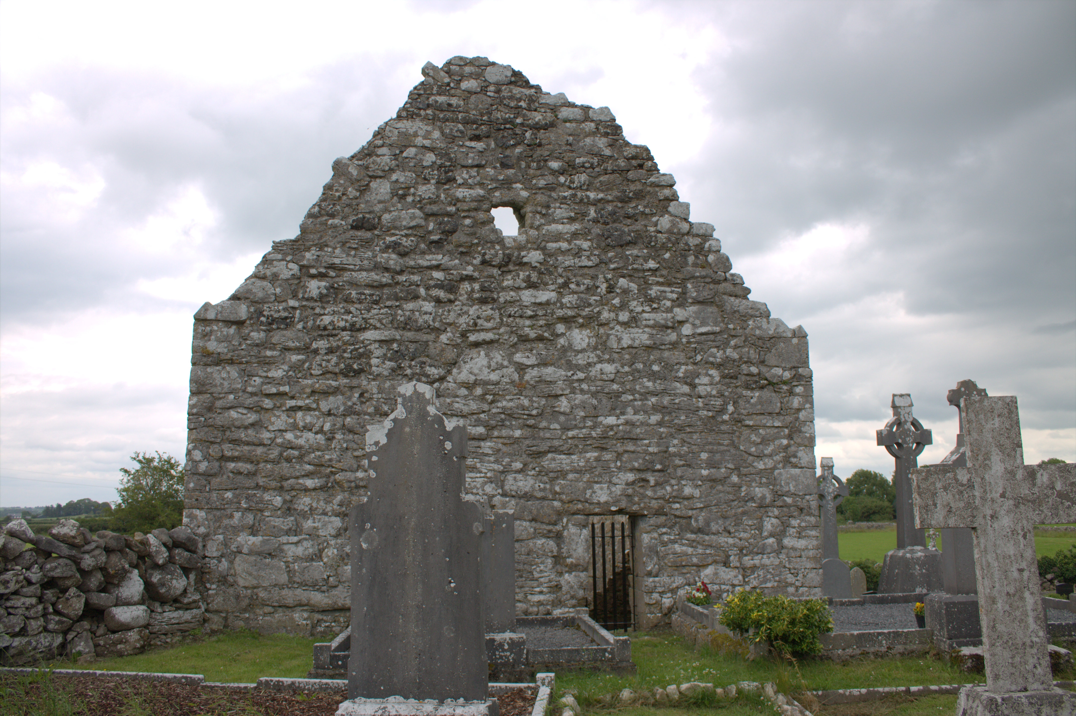 Killomoran Church (in ruins)Church · 652 yd
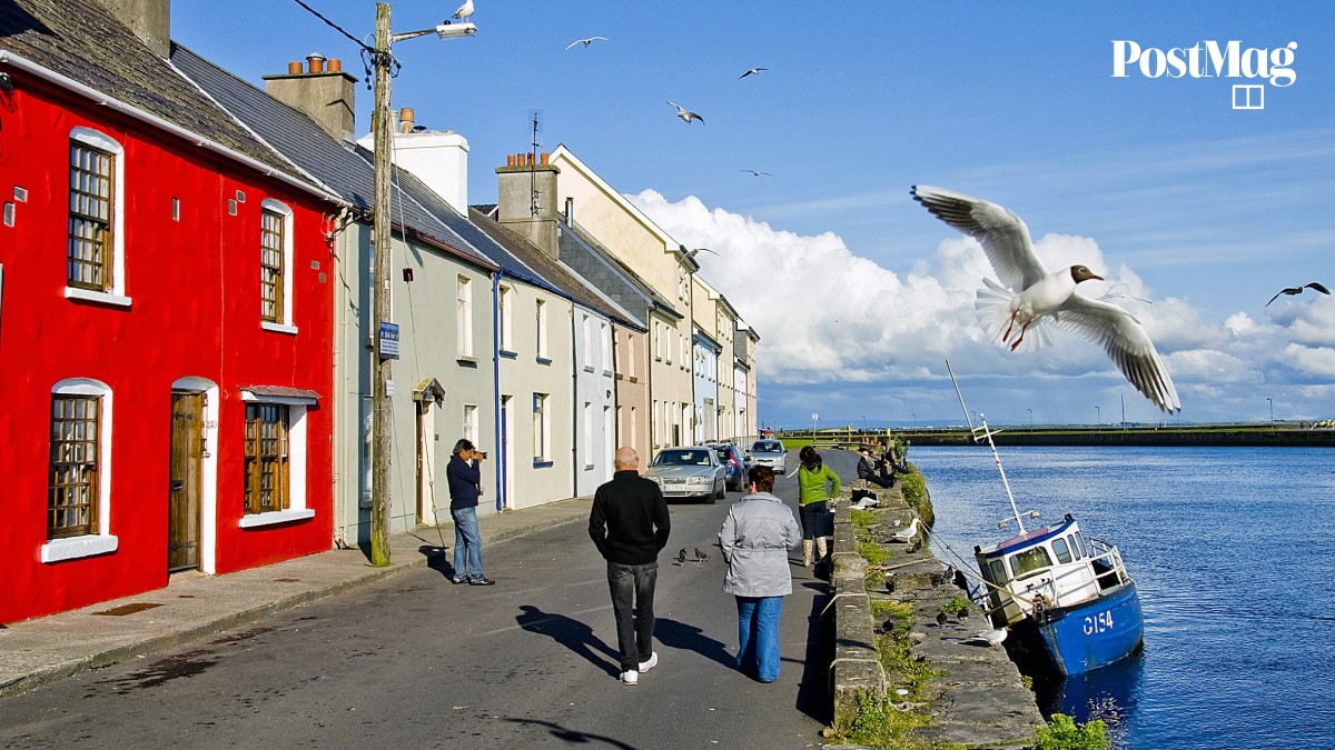 Nastaig FortFairy fort / earthen ringfort · 1304 yd
 Castle in ruinsCastle, unclassified · 1.1 mi
 Coole-Garryland Nature ReserveNature reserve · 1.7 mi
 Coole ParkWood · 2.0 mi
 Cahererillan CastleCastle · 2.3 mi
 Kilmacduagh Monastic SiteVisitor information · 3.9 mi
 Kilmacduagh MonasteryHeritage attraction · 3.9 mi
 Mulroney's IslandIslet · 4.3 mi
 Cusheen IslandIslet · 4.6 mi