What is recorded here
No visible entrance to the ringfort in Cahercarney, Co. Galway, but a gap in the wall at the northern edge suggests one may have existed. The site consists of a roughly circular enclosure, about 14m in diameter, formed by a low drystone wall standing 0.5m high. Inside, the ground rises slightly towards the centre, where a patch of compacted earth hints at a former structure. The surrounding pasture is flat and open, with no other visible remains nearby. The fort sits quietly among fields, its purpose obscured by time but its shape still clear enough to recognise.
In gently undulating pastureland. Poorly preserved circular cashel (diam. 21.3m) defined by a
collapsed drystone wall overlain by modern field walls. In the NW quadrant of the interior are the foundations of a house site (GA113-045001-).
Compiled by: Galway Archaeological Survey, UCG
Date of upload: 10 January 2017
The monument record does not grant public access. Check the route and ask the landowner before entering private land.
- What survives
- Recorded monument
Places near here
 IndicatedEnclosure · 359 yd
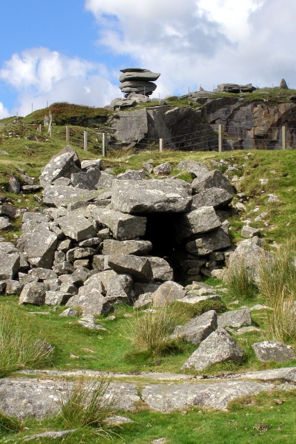 CaveMan-made underground passage · 874 yd
 Maryville Househouse · 902 yd
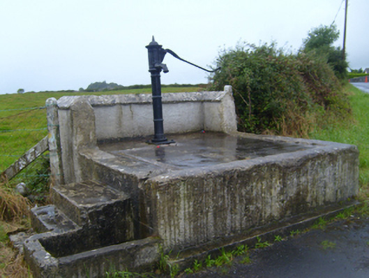 water pumpwater pump · 1.2 mi
 Drumharsna Castle (in ruins)Castle, tower house · 1.3 mi
 Drumharsna CastleHeritage attraction · 1.3 mi
 Ballymaquiff CastleCastle · 1.8 mi
 European BeechEuropean Beech · 2.6 mi
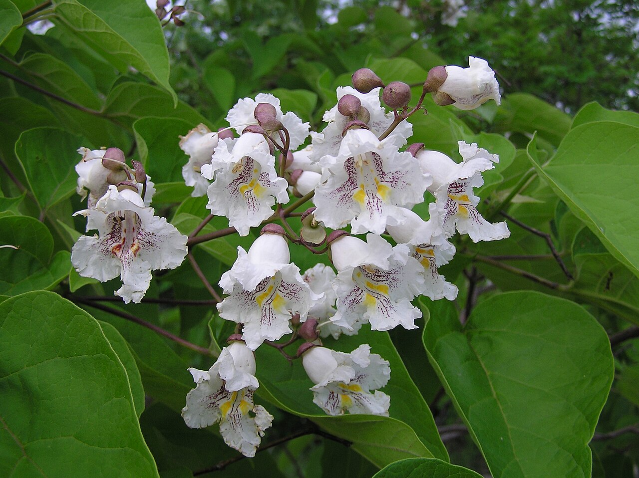 Southern catalpaSouthern catalpa · 2.7 mi
 Mulroney's IslandIslet · 3.8 mi
 Cusheen IslandIslet · 4.1 mi
 Drumacoo Monastic SiteHeritage attraction · 5.1 mi