What is recorded here
Caheratrim holds a worn stone ring where a straight field wall now cuts across the ancient boundary. The eastern wall still rises above grass while the western edge has vanished into pasture, suggesting the land itself forgot the shape. A hidden passage beneath the eastern soil remains the clearest proof that people once built the circle for life, not decoration.
In level pastureland. Poorly preserved circular cashel (diam. c. 34.8m) defined by an overgrown wall which is best preserved at E. A field wall cuts through the monument from NW to SE and little trace of the enclosing element survives to the SW it. There is a Man-made underground passage (GA114-035001-) in the E half of the interior. (McCaffrey 1952, 284, no. 26)
Compiled by: Galway Archaeological Survey, UCG
Date of upload: 11 January 2018
The monument record does not grant public access. Check the route and ask the landowner before entering private land.
- What survives
- Recorded monument
Places near here
 CaveMan-made underground passage · 9 yd
 R.C. Chapel (in Ruins)Church · 695 yd
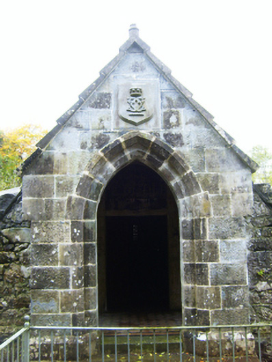 mausoleummausoleum · 703 yd
 IndicatedFairy fort / stone ringfort · 1262 yd
 Castle (in ruins)Castle, Anglo-Norman masonry castle · 1.1 mi
 Rahaly Castle (in ruins)Castle, tower house · 1.5 mi
 Drumharsna CastleHeritage attraction · 2.5 mi
 HawthornHawthorn · 2.6 mi
 European ashEuropean ash · 2.6 mi
 Drumacoo Monastic SiteHeritage attraction · 5.9 mi
 Mulroney's IslandIslet · 6.7 mi
 Kilmacduagh Monastic SiteVisitor information · 8.2 mi