What is recorded here
False memory is a trap. Show evidence, keep the facts being discussed, and never invent the missing part.
Enclosure described in 1943 as following; 'This is a simple circular stone walled fort the bank of which is now very much collapsed. A fosse is not visible. It is so collapsed and so densely overgrown that it is not possible to say on which side the entrance was. Its overall diameter is 105' [32m]. It is situated on rising ground' (O'Kelly 1942-3, 223). Outline of monument is visible today on Digital Globe aerial photographs.
Compiled by: Caimin O'Brien
Date of upload: 28 February 2020
The monument record does not grant public access. Check the route and ask the landowner before entering private land.
- What survives
- Recorded monument
Places near here
 Enclosure in Ballymartin (pubblebrien By.)Enclosure · 393 yd
 Partially hachuredFairy fort / earthen ringfort · 1135 yd
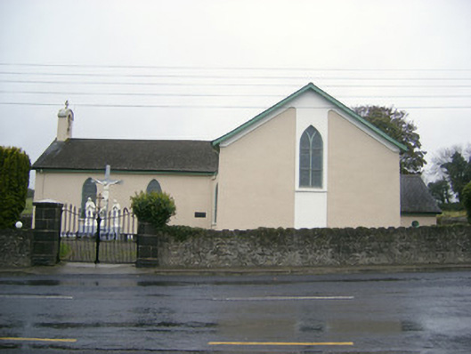 Catholic Church of Saint John the Baptistchurch/chapel · 1670 yd
 RoadRoad, road/trackway · 1739 yd
 Glenogra Castle (in ruins)Castle, Anglo-Norman masonry castle · 1.3 mi
 Bawn in Rathmore NorthBawn · 1.3 mi
 European ashEuropean ash · 1.8 mi
 Villiers WellSpring · 2.0 mi
 Monasteranenagh AbbeyHeritage attraction · 2.2 mi
 Lough GurVisitor information · 3.9 mi
 Biodiversity in the Maigue CatchmentVisitor information · 4.1 mi
 Flat cemetery in Knockainy WestFlat cemetery · 8.5 mi