What is recorded here
Killone Lake watches the fairy fort from three hundred metres north, while modern houses cut through its western bank. The double-faced wall still traces a thirty-three metre circle on the SE-facing slope, but one rear kitchen wall now splits the ancient stone in two. People built their lives inside the perimeter of something older, perhaps forgetting the boundary or perhaps claiming it. The lake keeps the memory the concrete erased.
On a slight SE-facing slope in a rough unreclaimed area S of Killone Lake (c. 350m to the N). A modern housing development lies immediately NW. A subcircular enclosure (diam. c. 33m) visible on Digital Globe (2011-13) and on Google Earth (19 January 2020) defined by the grassed-over remains of a double-faced wall, most visible at SE-W. The NW portion of the bank has been cut through by the rear wall of one of the houses. A house site (CL041-191----) lies in the NE sector. A number of adjacent field walls form a field system (CL041-192----). This and the field system (CL041-189----) NW of the modern houses are likely to originally have been connected.
The following image has been uploaded:
CL041-190----_01.jpg Google Earth image taken 19 January 2020
Compiled by: Mary Tunney
Date of upload: 12 May 2021
The monument record does not grant public access. Check the route and ask the landowner before entering private land.
- What survives
- Recorded monument
Places near here
 Enclosure in FeaghEnclosure · 300 yd
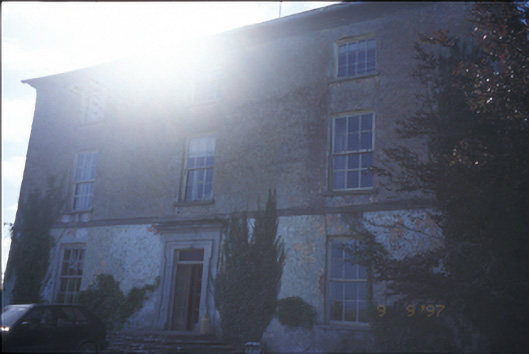 Barntick Housefarm house · 324 yd
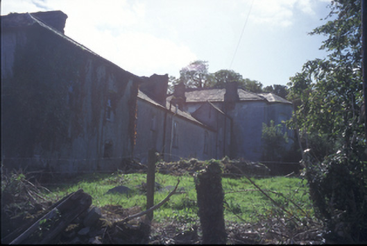 Buncraggy Housecountry house · 1002 yd
 Trees;Irreg broken indicationFairy fort / earthen ringfort · 1134 yd
 Killone AbbeyHeritage attraction · 1211 yd
 Abbey WoodForest · 1469 yd
 Killone Castle (in Ruins)Castle, unclassified · 1.2 mi
 Rockmount WoodWood · 1.4 mi
 Alice and Gwendoline CaveMuseum · 1.5 mi
 Irish Famine MemorialMemorial · 1.9 mi
 G.A.A. Commemorative StoneMemorial · 1.9 mi
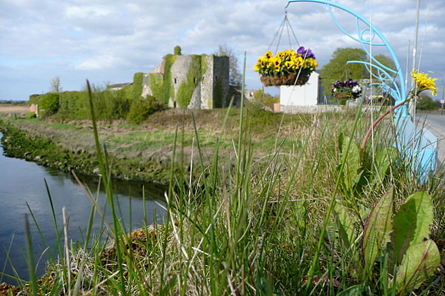 Clare CastleCastle · 2.1 mi