What is recorded here
Westropp called Cahermoyle the largest of the forts in 1905, but a later field wall now cuts through its centre and scrub chokes the rest. The surviving stone bank still rises beside the ocean view, holding the shape of a circle that human hands forced into rocky ground. Other cashels sit within a hundred metres, suggesting a crowded landscape where enclosure mattered more than monumentality.
On slightly raised ground in flat rocky landscape overgrown with scrub and with limited visibility, except to the W where the ocean is visible. Within an extensive field system extending across Knockaunsmountain (CL004-027001-). Hachured on the 1915 OS 6-inch map. Listed as ‘Enclosure’ in the RMP (1996). Named ‘Cahermoyle’ by Westropp (1905, 344 and 348) and described as ‘the largest of the forts’ (int. dims. 45.72m) in the area. The cashel is described as ‘crossed by a long boundary wall’ and ‘so entirely overthrown as to be indescribable’ (ibid.).
A roughly circular, overgrown cashel (est. dims. c. 45m N-S; c. 37m E-W) defined by a bank of stone and earth which is well preserved between SSE and SSW (Wth 3-4.5m; int. H 0.4m; ext. H 1-1.2m) and from SSW to W (Wth 2m; int. H 0.2-0.4m; ext. H 0.2-0.4m). A drystone wall (H c. 0.8m) is built along the line of the inner wall-facing at SSE. The bank may have been removed from W to NNE and between NNE and SSE the bank is overgrown and imperceptible. Outer facing-stones are visible at S (H 0.45m) and SW (H c. 0.5-0.9m). The interior of the site is uneven and rises (H 1.2m) above outer ground level from SSW to W. A later field wall cuts through the centre of the cashel from NNE to SSW and on the SSE perimeter of the cashel, an old boundary wall extends to the SSE. A cashel (CL004-063----) is located 100m to the SSW and another cashel (CL004-087----) is located c. 80m to the NW.
Compiled by: Mary Tunney and Lynda McCormack
Date of upload: 30 November 2022
The monument record does not grant public access. Check the route and ask the landowner before entering private land.
- What survives
- Recorded monument
Places near here
 CahernagrianFairy fort / stone ringfort · 431 yd
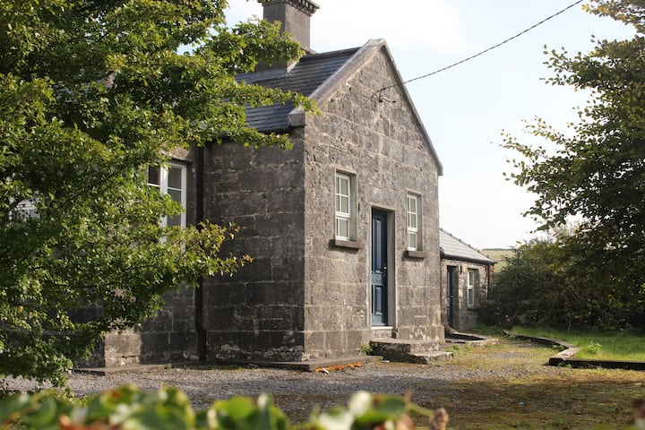 Enclosure in OughtdarraEnclosure · 906 yd
 ( Poulomega ? )Cave · 972 yd
 OughtdarraCliff · 1129 yd
 BallyryanCliff · 1.1 mi
 Crumlin Church (in Ruins)Church · 1.2 mi
 PollnagreeCave · 1.2 mi
 Ballinalacken CastleCastle · 1.2 mi
 The BurrenHeritage attraction · 1.3 mi
 Doolin Cave Visitor CentreHeritage attraction · 1.7 mi
 Enclosure in BallynahownEnclosure · 912 yd
 Enclosure in Ballynahown,crumlinEnclosure · 1049 yd