What is recorded here
No visible stones remain of the Ballymaquiff North ringfort, yet an L-shaped underground passage still cuts through the soil beneath the tillage. The fort measured nearly twenty-nine metres across when last described, large enough to hold a household, a herd, or a secret. The fairies may have taken the stones, but they left the hole behind.
In tillage. Classified by McCaffrey (1952, 280, no. 65) as a circular ‘Stone fort’ (diam. c. 28.7m) with a ‘large L-shaped Man-made underground passage’ (GA114-014001-) in the interior. No visible surface trace survives.
Compiled by: Galway Archaeological Survey, UCG
Date of upload: 3 January 2017
The monument record does not grant public access. Check the route and ask the landowner before entering private land.
- What survives
- Recorded monument
Places near here
 Man-made underground passage in Ballymaquiff NorthMan-made underground passage · 8 yd
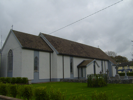 Saint Teresa's Catholic Churchchurch/chapel · 270 yd
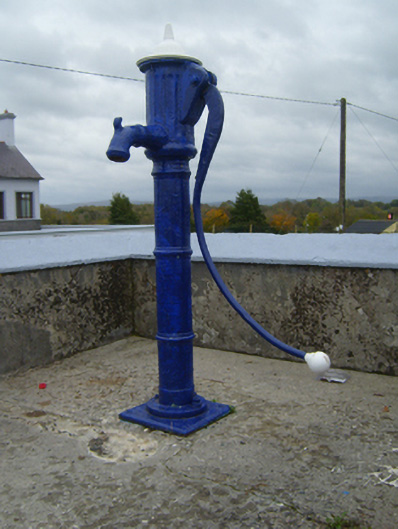 water pumpwater pump · 371 yd
 CaveMan-made underground passage · 926 yd
 Ballymaquiff CastleCastle · 1066 yd
 Castle (in ruins)Castle, Anglo-Norman masonry castle · 1.4 mi
 Drumharsna CastleHeritage attraction · 1.4 mi
 HawthornHawthorn · 1.6 mi
 European ashEuropean ash · 1.7 mi
 Drumacoo Monastic SiteHeritage attraction · 5.7 mi
 Goose IslandIslet · 9.6 mi
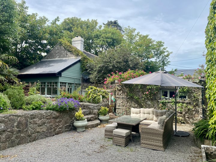 Glasheen IslandIslet · 9.7 mi