What is recorded here
Situated on a slight S-facing slope in gently undulating pasture. Not marked on the 1837 edition on the OS 6-inch map but depicted as a roughly circular hachured area (diam. c.20m) on the 1912 edition. According to local information this monument was levelled in the 1940s (SMR (1989) file) and there are no remains of it now visible at ground level.
Compiled by: Patrick F. O'Donovan
Date of upload: 21 April 2011
The monument record does not grant public access. Check the route and ask the landowner before entering private land.
- What survives
- Recorded monument
Places near here
 Enclosure in WillowbrookEnclosure · 234 yd
 Enclosure in Doonally (carbury By., Drumcliff East Ed)Enclosure · 409 yd
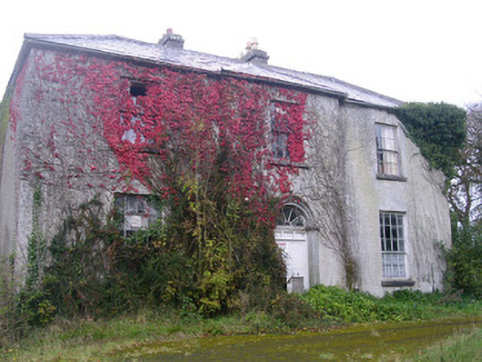 Doonally Househouse · 464 yd
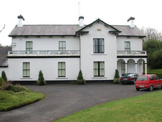 Ballyglass Househouse · 1.4 mi
 European BeechEuropean Beech · 1.8 mi
 Copes MountainMountain / peak · 2.0 mi
 Sligo Masonic HallMemorial · 2.4 mi
 Model Niland GalleryHeritage attraction · 2.4 mi
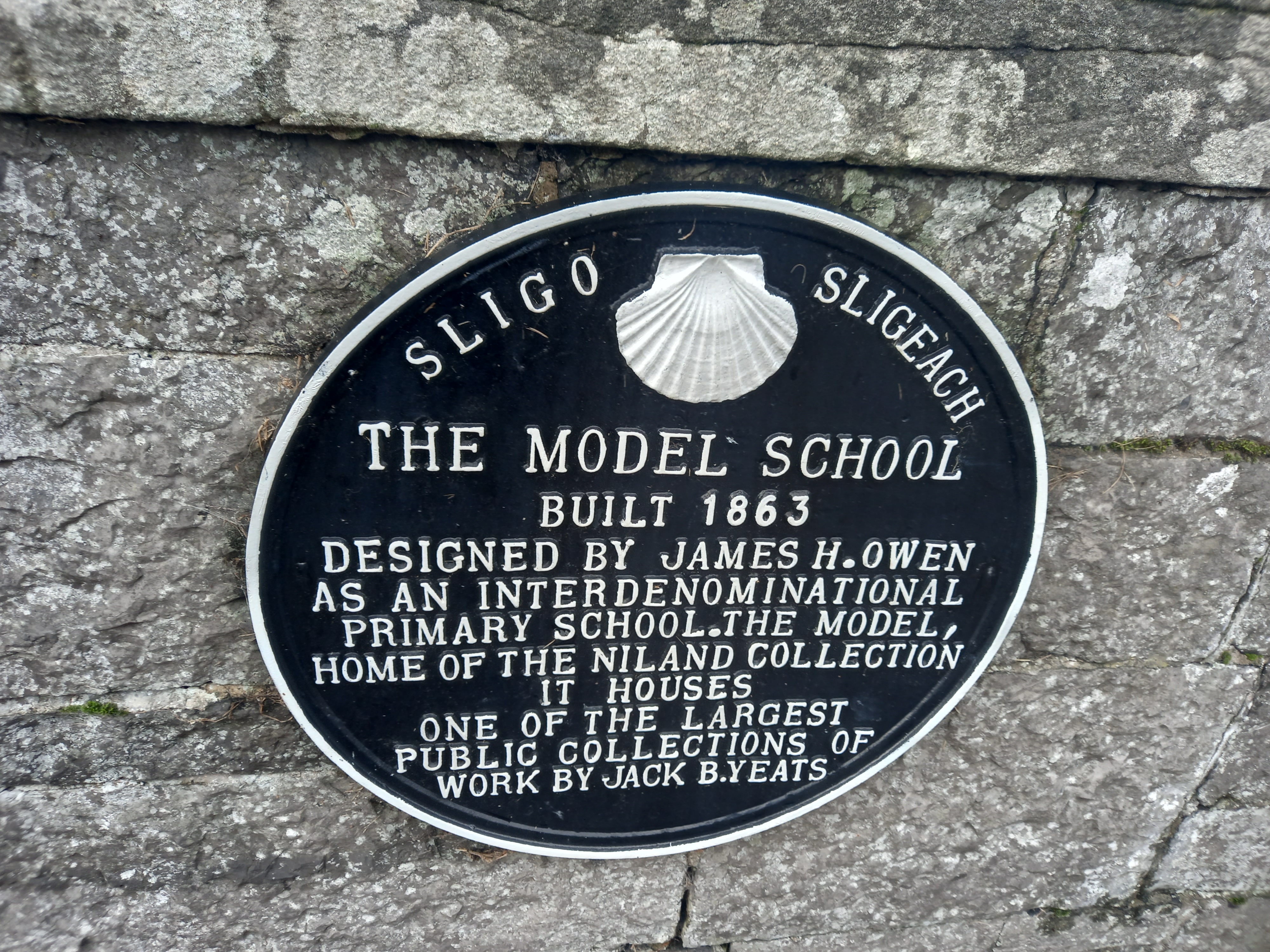 Model SchoolMemorial · 2.5 mi
 SligoVisitor information · 2.6 mi
 CastleCastle, Anglo-Norman masonry castle · 2.6 mi
 Discover IrelandVisitor information · 2.7 mi