What is recorded here
No visible trace survives in the pastureland, but a circular enclosure measured twenty-three metres across on an 1838 map, suggesting a ringfort or fairy fort. A rath lies two hundred and fifty metres to the southeast and a cashel one hundred and forty metres to the north, forming a quiet triangle of ancient boundaries. The earth may have swallowed the stones, yet the shape remained fixed enough for surveyors to draw, implying the site still held human memory when last walked.
In pastureland. Marked on the 1838 edition of the OS 6-inch map as a circular enclosure (diam. c. 23m). No
visible surface trace survives. A rath lies c. 250m to the SE and there is a cashel c. 140m to the N.
Compiled by: Galway Archaeological Survey, UCG
Date of upload: 30 July 2019
The monument record does not grant public access. Check the route and ask the landowner before entering private land.
- What survives
- Recorded monument
Places near here
 Lackmacmahon Stone CrossCross · 984 yd
 Maryville Househouse · 986 yd
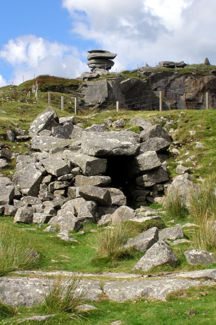 CaveMan-made underground passage · 1224 yd
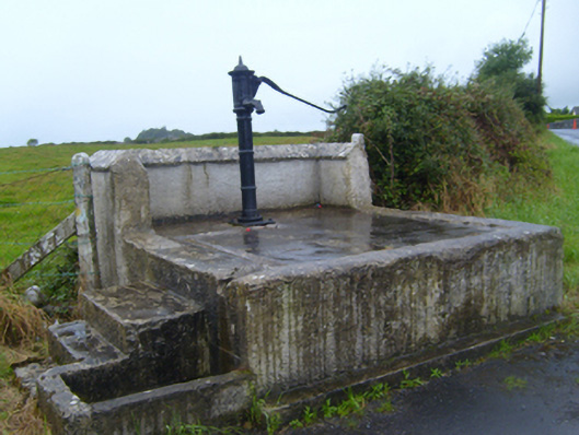 water pumpwater pump · 1722 yd
 Ballymaquiff CastleCastle · 1.5 mi
 Drumharsna Castle (in ruins)Castle, tower house · 1.6 mi
 Drumharsna CastleHeritage attraction · 1.6 mi
 European BeechEuropean Beech · 1.8 mi
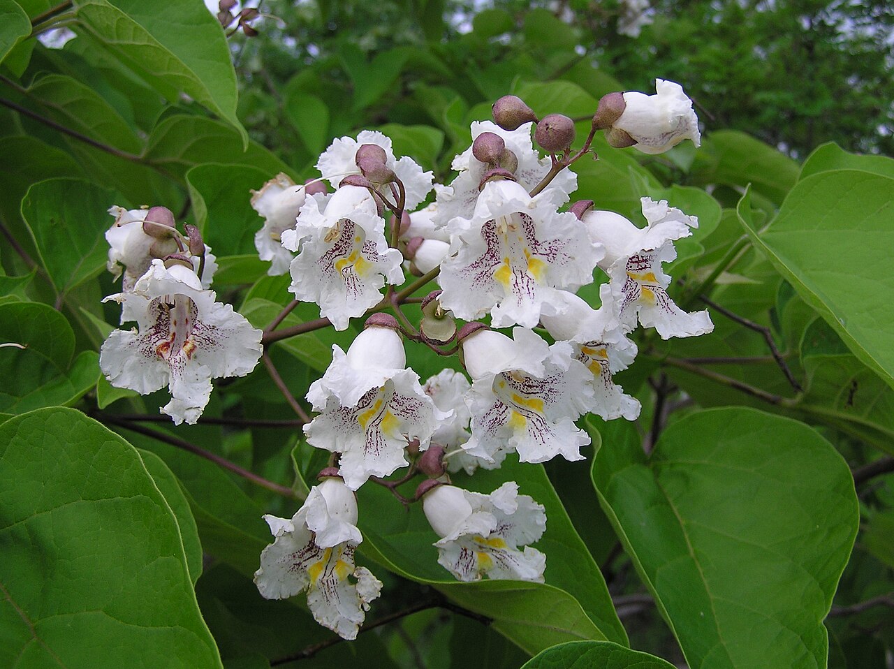 Southern catalpaSouthern catalpa · 1.8 mi
 Mulroney's IslandIslet · 4.7 mi
 Cusheen IslandIslet · 5.0 mi
 Kilmacduagh Monastic SiteVisitor information · 5.1 mi