What is recorded here
Polldonoghoe held a circular fort fifty feet across when surveyors marked it in 1838, yet pasture and time have erased its ridge. It stood beside two other ancient enclosures, a rath and a cashel, suggesting a small cluster of homes or shelters rather than a lonely marker. The land may have swallowed the place people once walked, leaving only the memory of a circle in grass.
In cleared pastureland. Marked on the 1838 edition of the OS 6-inch map as a circular enclosure (diam. c. 25m). No visible surface trace survives. A rath (GA113-179----) lies c. 55m to the NW and there is a cashel (GA113-177----) c. 160m to the NE.
Compiled by: Galway Archaeological Survey, UCG
Date of upload: 30 July 2019
The monument record does not grant public access. Check the route and ask the landowner before entering private land.
- What survives
- Recorded monument
Places near here
 Maryville Househouse · 759 yd
 Lackmacmahon Stone CrossCross · 883 yd
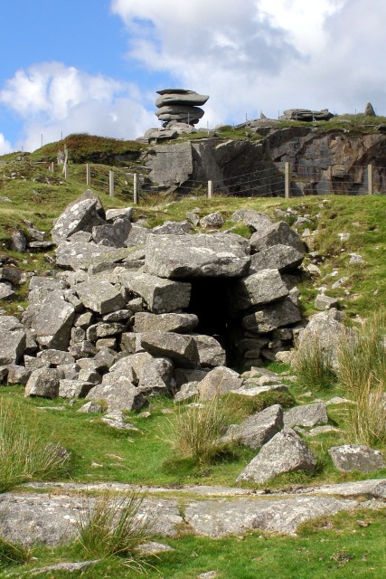 CaveMan-made underground passage · 1000 yd
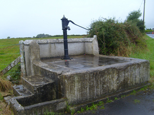 water pumpwater pump · 1757 yd
 Ballymaquiff CastleCastle · 1.5 mi
 Drumharsna Castle (in ruins)Castle, tower house · 1.6 mi
 Drumharsna CastleHeritage attraction · 1.6 mi
 European BeechEuropean Beech · 1.9 mi
 Southern catalpaSouthern catalpa · 1.9 mi
 Mulroney's IslandIslet · 4.5 mi
 Cusheen IslandIslet · 4.9 mi
 Kilmacduagh Monastic SiteVisitor information · 5.2 mi