What is recorded here
Fairy fort in Moarhaun, County Clare: a 35m circular grass enclosure on a valley-floor rise, marked by a stone spread, a shallow inner scarp, a taller outer scarp and a 2.8m entrance ramp at the northeast. People may have kept livestock inside, buried tools at its edge or simply noticed that the land had been shaped before them. The fairies in its name suggest it also entered local story as a place set apart, where human use and imagination overlapped.
On a rise on the floor of an E-W valley. Listed as 'Enclosure' in the SMR (1992) and the RMP (1996). A circular grass-covered area (35m WNW-ESE; 25m NNE-SSW) defined by a stone spread (Wth 4.5-4.8m; int. H 0.2-0.8m; ext. H 0.2-0.8m) SE-NW, a scarp (H 0.3m) down to the interior NE-E and an external scarp (max. H 1.6m) E-SE. There is an entrance ramp (Wth 2.8m) at NE.
Compiled by: Michael Moore
Date of upload: 23 May 2016
The monument record does not grant public access. Check the route and ask the landowner before entering private land.
- What survives
- Recorded monument
Places near here
 Enclosure in Erinagh BegEnclosure · 870 yd
 CaherbannaghFairy fort / stone ringfort · 1102 yd
 Kilcross Church (in Ruins)Church · 1177 yd
 Magowna CastleCastle · 1287 yd
 Shallee Castle (in Ruins)Castle, tower house · 1553 yd
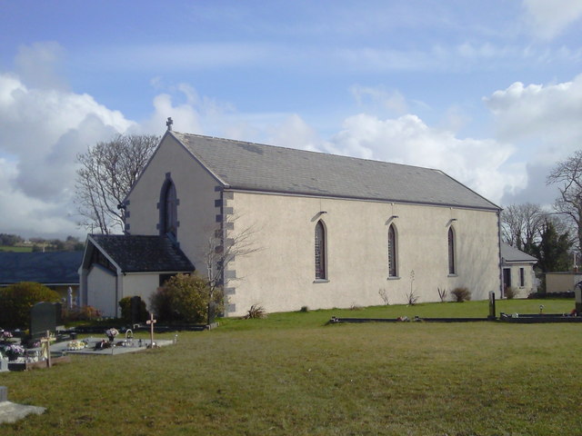 Saint Joseph's Catholic Churchchurch/chapel · 1.2 mi
 Poul na gollorCave · 2.9 mi
 Ardcarney WoodWood · 2.9 mi
 Ballygriffy WoodWood · 3.0 mi
 Ennis AbbeyMuseum · 3.4 mi
 Clare MuseumMuseum · 3.5 mi
 Alice and Gwendoline CaveMuseum · 4.2 mi