What is recorded here
Dowra village now drops kitchen windows and garden walls into the fort chamber, burying the D-shaped ring beneath domestic life. The Shannon still flows thirty metres west, past the house foundations that replaced the ancient boundary. What was a fort became a neighbourhood, its defence line forgotten under pavement and flower beds.
Situated on level ground within Dowra village with a N-S section of the River Shannon c. 30m to the W. It is indicated as a D-shaped enclosure (dim. c. 25m) on the 1835 edition of the OS 6-inch map where it is described in gothic lettering as a 'fort'. It is not visible at ground level under housing.
The above description is derived from 'The Archaeological Inventory of County Leitrim' compiled by Michael J. Moore (Dublin: Stationery Office, 2003). In certain instances the entries have been revised and updated in the light of recent research.
Date of upload/revision: 13 December 2011
The monument record does not grant public access. Check the route and ask the landowner before entering private land.
- What survives
- Recorded monument
Places near here
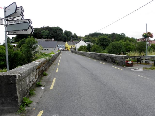 Dowra Bridgebridge · 61 yd
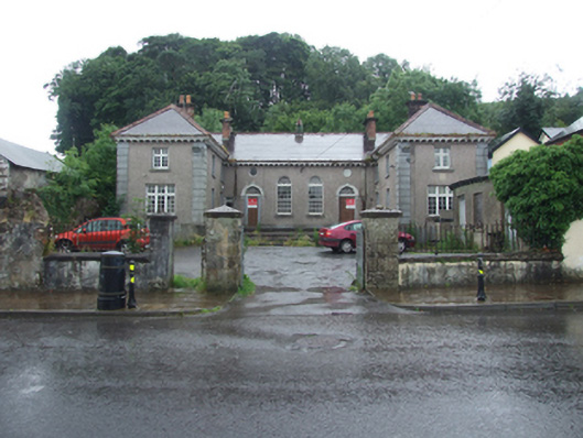 Dowra Court Housecourt house, garda station/constabulary barracks · 204 yd
 Republican Garden of RemembranceMemorial · 243 yd
 IndicatedFairy fort / stone ringfort · 799 yd
 Sweat Ho.Sweathouse · 885 yd
 CarrickbrannanMountain / peak · 1.1 mi
 Corrard ForestForest · 1.2 mi
 ArdlougherMountain / peak · 1.4 mi
 TobermurrySpring · 1.7 mi
 PlaygroudCliff · 2.5 mi
 Fahy RockIslet · 2.6 mi
 Forde's CastleCastle · 3.0 mi