What is recorded here
Situated on a slight elevated rise in gently undulating countryside, with excellent views in all directions. Ringfort (WM008-017----) 270m to NW. Depicted as an oval shaped enclosure on the 1837 OS Fair Plan map. This site has been levelled. Now visible as an oval shaped area (approx. diam. 36m N-S; 25m E-W) defined by a band of vegetation (Wth 4m). Some burnt stones visible nearby in the plough-soil. Cropmark of levelled monument visible on Digital Globe aerial photograph taken November 2011.
Compiled by: Frank Coyne and Caimin O'Brien
Date of upload: 19 April 2017
The monument record does not grant public access. Check the route and ask the landowner before entering private land.
- What survives
- Recorded monument
Places near here
 Fairy fort / ringfort in KilgarFairy fort / ringfort · 672 yd
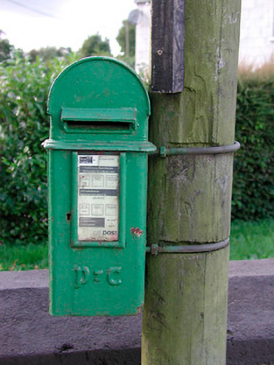 post boxpost box · 878 yd
 IndicatedEnclosure · 1311 yd
 Archerstown Church in ruinsChapel · 1.0 mi
 The Sloe HillMountain / peak · 1.2 mi
 Bawn in ArcherstownBawn · 1.3 mi
 Kells HillMountain / peak · 1.5 mi
 Bawn in Scurlockstown (delvin By.)Bawn · 1.6 mi
 The FurzeForest · 1.7 mi
 Bradley's WoodWood · 1.7 mi
 South East GateHeritage attraction · 4.4 mi
 St Feichin's MillHeritage attraction · 4.5 mi