What is recorded here
Kilcurrivard holds a faded thirty-nine-metre ring where a field wall now cuts through ancient earth. The local name suggests people once believed fairies lived there, while the nearby house and second ringfort prove the land remained busy. That hollow inside the fort may have held a doorway, a well, or a room for someone who no longer has a name.
In level grassland. Poorly preserved almost circular ringfort (D 39m) defined by a bank of earth and stone. A field wall cuts the monument at NNW and SSE. A hollow (L 5.2m, Wth2.5m), running NW-SE, is visible within SE quadrant of the interior. A ringfort (GA057-116----) lies c. 200m to SW and a house (GA057-115----) c. 100m to WSW.
The above description is derived from the published 'Archaeological Inventory of County Galway Vol. II - North Galway'. Compiled by Olive Alcock, Kathy de hÓra and Paul Gosling (Dublin: Stationery Office, 1999).
Date of upload: 05 August 2010
The monument record does not grant public access. Check the route and ask the landowner before entering private land.
- What survives
- Recorded monument
Places near here
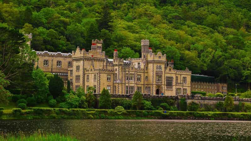 Enclosure in KilcurrivardEnclosure · 544 yd
 Cathair InseFairy fort / ringfort · 1678 yd
 Cregboyne FortBawn · 1.2 mi
 St. Cathaldus Church (in ruins)Church · 2.1 mi
 Castlehacket National Schoolschool · 2.2 mi
 Castle (in ruins)Castle, tower house · 2.3 mi
 KnockmaaWood · 3.2 mi
 Cregg Castle DemesneForest · 4.0 mi
 Kilcoona Round TowerHeritage attraction · 4.2 mi
 Mass RockNamed rock · 6.1 mi
 Oileán an AoilIsland · 7.5 mi
 Walsh's IslandIslet · 7.6 mi